 Old Cumbria Gazetteer
 |
 |
|
| included in:- |
 road, Garnett Bridge to Sadgill road, Garnett Bridge to Sadgill |
|
| walk 1, Sadgill to St Mary's Church: 7.6.2007 | ||
| Sadgill to St Mary's Church | ||
| site name:- | road, Garnett Bridge to Sadgill | |
| civil parish:- | Longsleddale (formerly Westmorland) | |
| county:- | Cumbria | |
| locality type:- | road route | |
| 10Km square:- | NY40 | |
| 10Km square:- | NY50 | |
|
|
||
| MN photo:- |
Walk down Longsleddale, from Sadgill to St Mary's Church, 7 June 2007. |
|
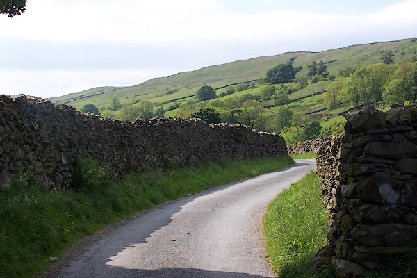 BNU11.jpg At Sadgill the stone walls are high and close. (taken 7.6.2007) 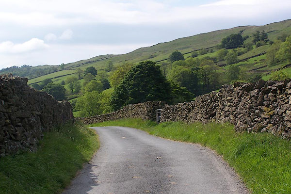 BNU12.jpg (taken 7.6.2007) 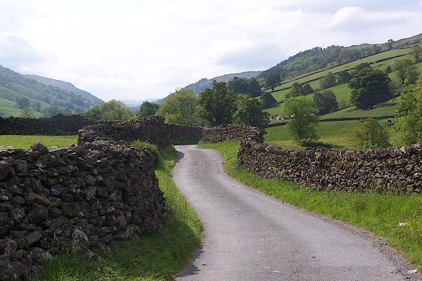 BNU13.jpg (taken 7.6.2007) 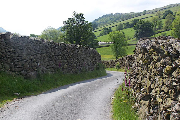 BNU14.jpg (taken 7.6.2007) 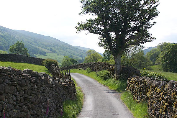 BNU15.jpg (taken 7.6.2007) 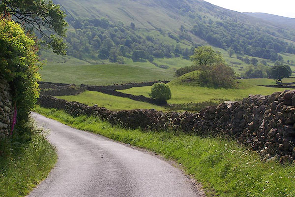 BNU16.jpg The mound is Swirl How, aid to be a tumulus of the viking period. (taken 7.6.2007) 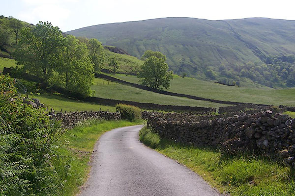 BNU17.jpg (taken 7.6.2007) 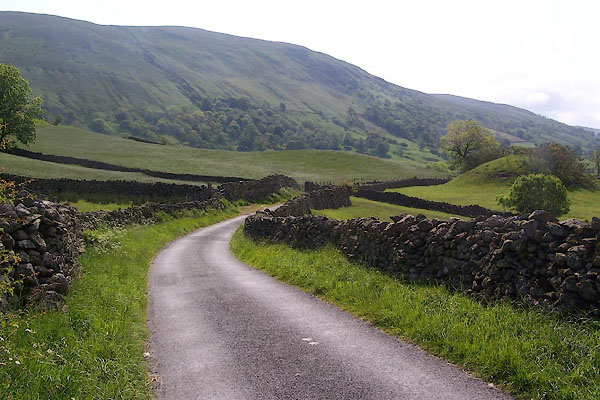 BNU18.jpg (taken 7.6.2007) 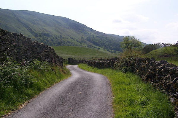 BNU19.jpg (taken 7.6.2007) 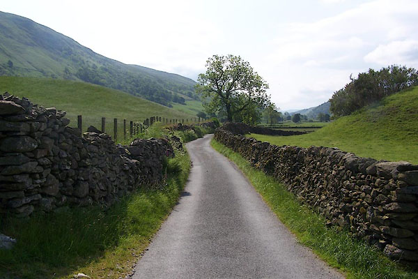 BNU20.jpg (taken 7.6.2007) 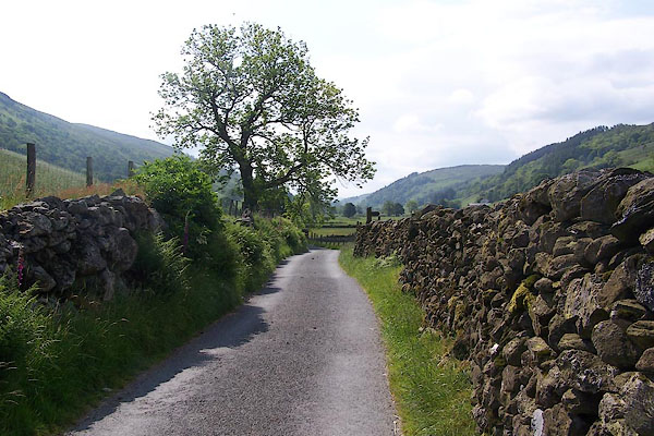 BNU21.jpg (taken 7.6.2007) 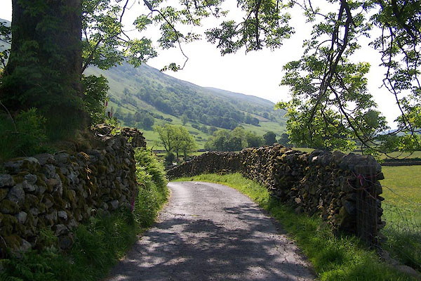 BNU22.jpg (taken 7.6.2007) 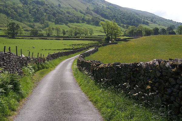 BNU23.jpg (taken 7.6.2007) 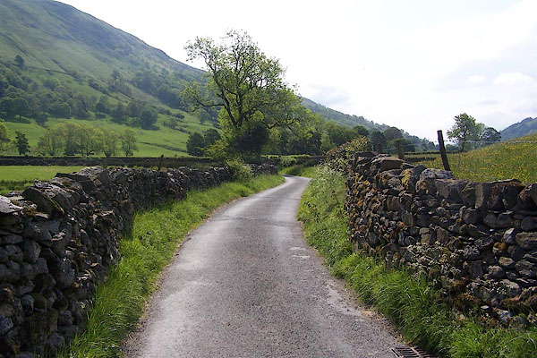 BNU24.jpg (taken 7.6.2007) 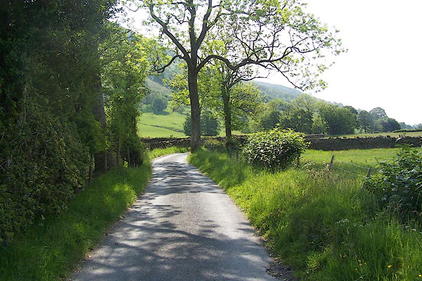 BNU25.jpg (taken 7.6.2007) 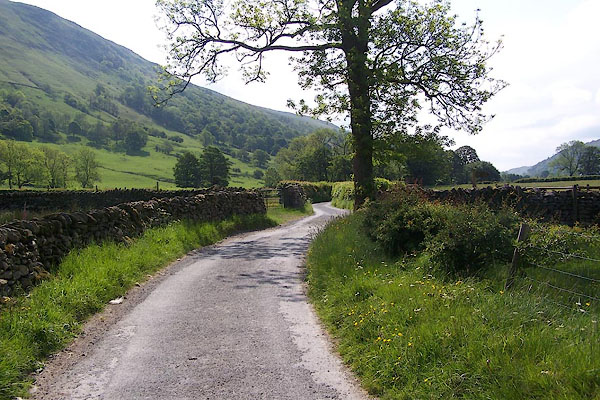 BNU26.jpg The entrance on the right, just beyond the tree, is to Tills Hole. (taken 7.6.2007) 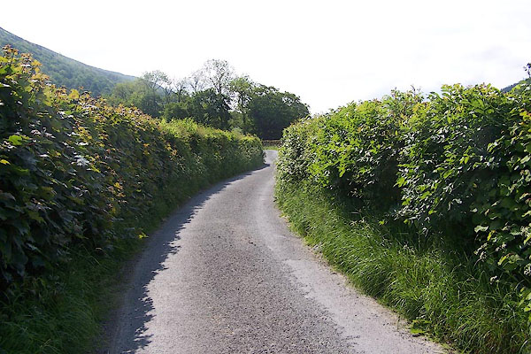 BNU27.jpg (taken 7.6.2007) 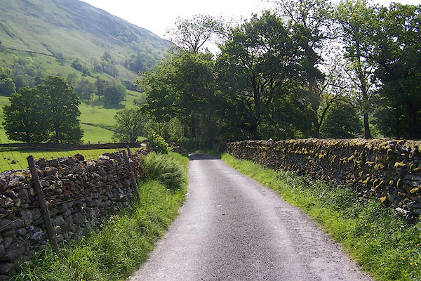 BNU28.jpg (taken 7.6.2007) 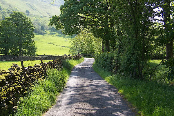 BNU29.jpg On the right is 'The Island' by the River Sprint, with a picnic table. (taken 7.6.2007) 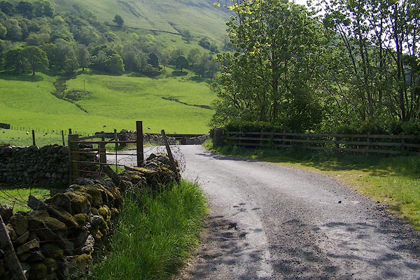 BNU30.jpg A kink in the route, and the entrance to Stockdale on the left. (taken 7.6.2007) 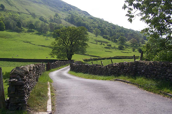 BNU31.jpg Bridge over the Stockdale Beck. (taken 7.6.2007) 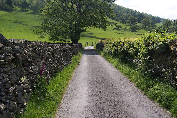 BNU32.jpg (taken 7.6.2007) 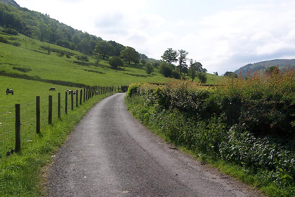 BNU33.jpg (taken 7.6.2007) 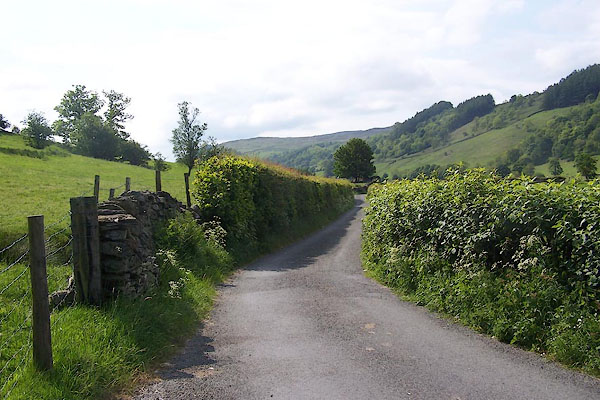 BNU34.jpg (taken 7.6.2007) 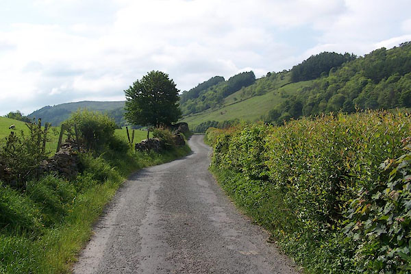 BNU35.jpg (taken 7.6.2007) 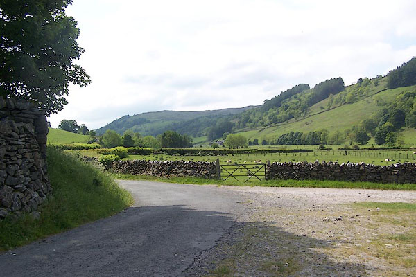 BNU36.jpg On the left is the ruin of High Barn; the entrance opposite is to Toms Howe. (taken 7.6.2007) 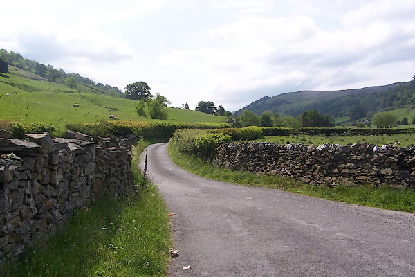 BNU37.jpg (taken 7.6.2007) 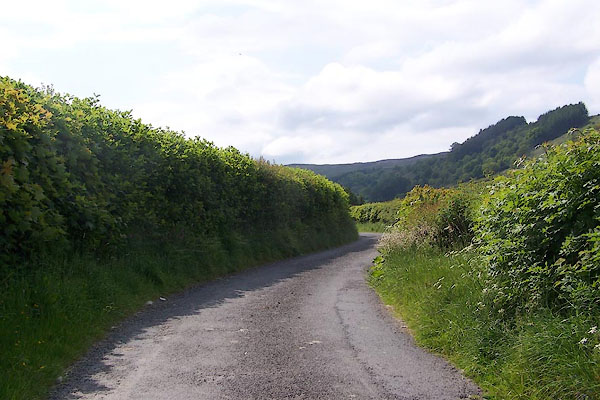 BNU38.jpg (taken 7.6.2007) 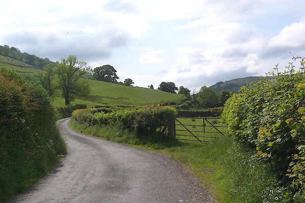 BNU39.jpg (taken 7.6.2007) 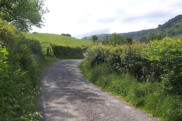 BNU40.jpg (taken 7.6.2007) 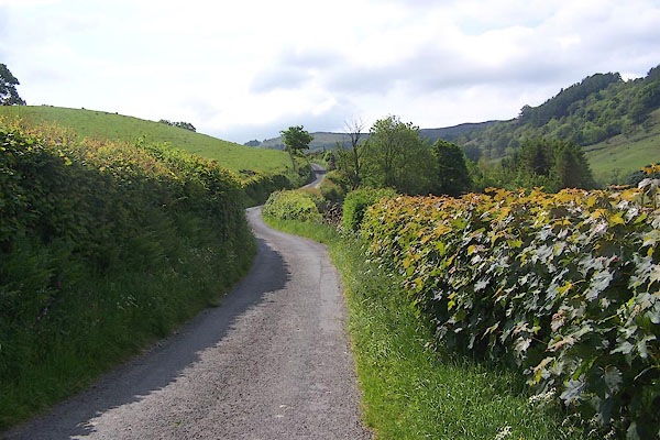 BNU41.jpg (taken 7.6.2007) 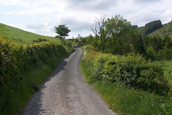 BNU42.jpg This short rise is called Tommy Knowe. (taken 7.6.2007) 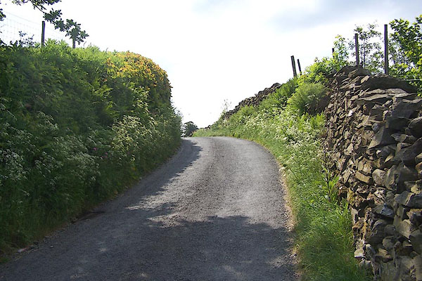 BNU43.jpg (taken 7.6.2007) 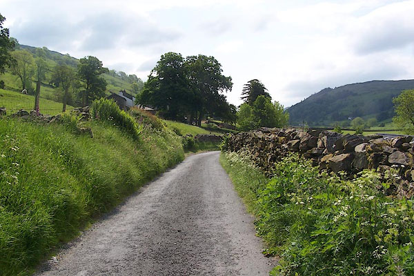 BNU44.jpg (taken 7.6.2007) 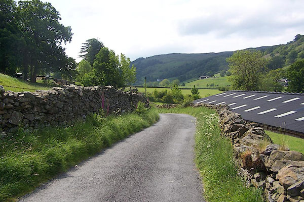 BNU45.jpg (taken 7.6.2007) 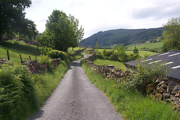 BNU46.jpg (taken 7.6.2007) 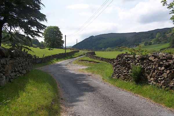 BNU47.jpg Entrance on the left to High Swinklebank. (taken 7.6.2007) 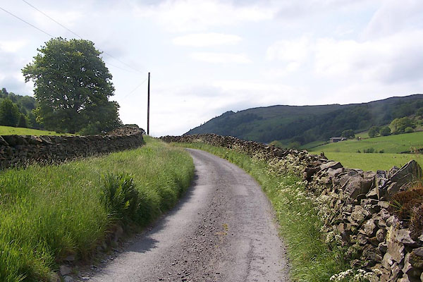 BNU48.jpg (taken 7.6.2007) 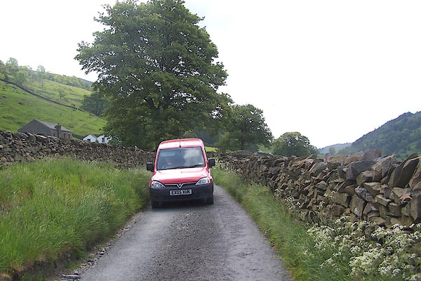 BNU49.jpg Keith the postman in his red van. (taken 7.6.2007) 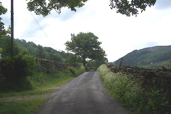 BNU50.jpg (taken 7.6.2007) 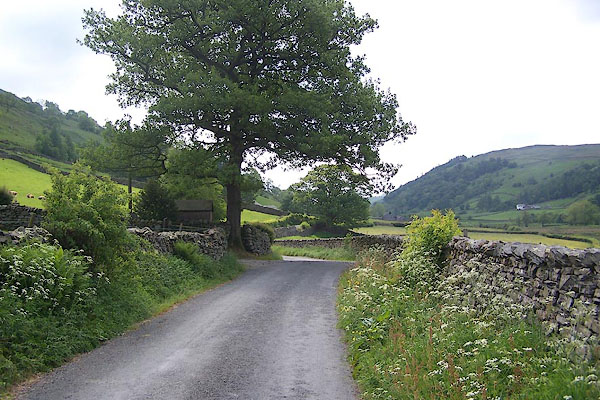 BNU51.jpg On the left the drive into Middle Swinklebank, or Saddler's Croft where Jimmy Todd has his saddler's workshop, on the right the entrance to Wellfoot. (taken 7.6.2007) 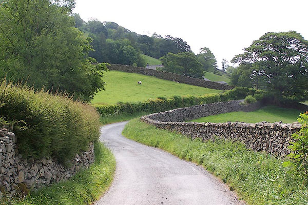 BNU52.jpg (taken 7.6.2007) 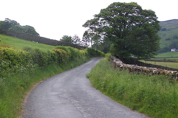 BNU53.jpg (taken 7.6.2007) 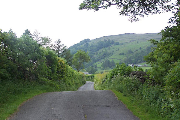 BNU54.jpg (taken 7.6.2007) 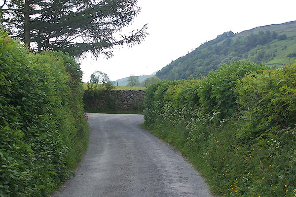 BNU55.jpg Entrance on the left to Low Swinklebank. (taken 7.6.2007) 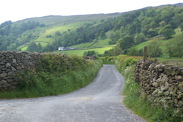 BNU56.jpg (taken 7.6.2007) 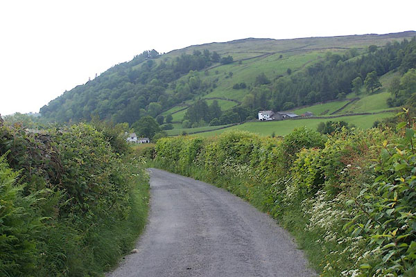 BNU57.jpg (taken 7.6.2007) 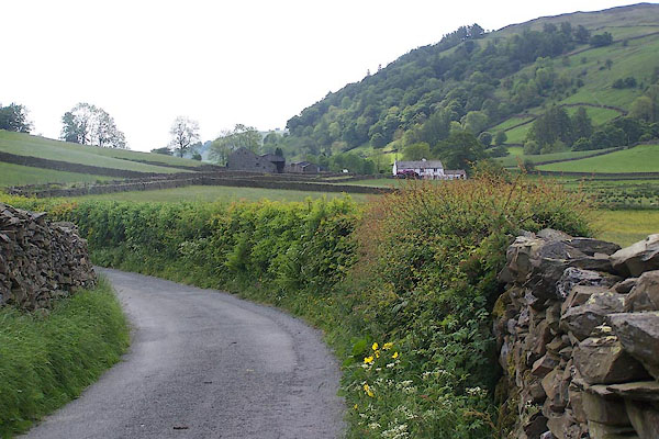 BNU58.jpg (taken 7.6.2007) 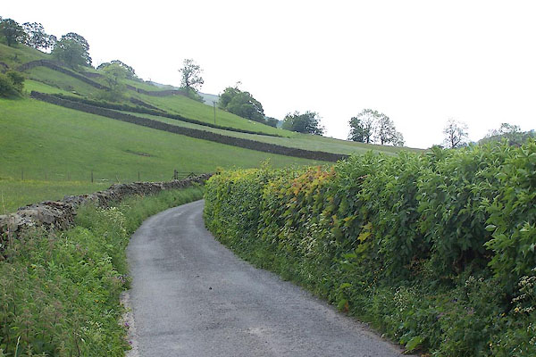 BNU59.jpg (taken 7.6.2007) 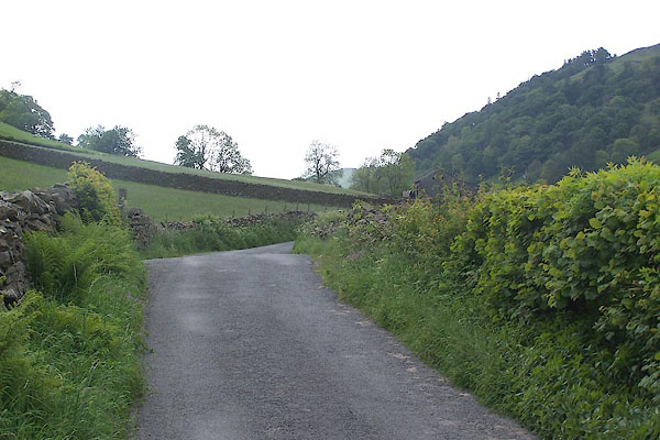 BNU60.jpg (taken 7.6.2007) 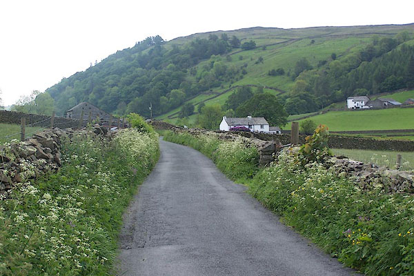 BNU61.jpg (taken 7.6.2007) 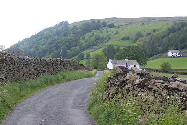 BNU62.jpg Middale by the roadside, and Wadshow up on the right; the stretch of road just before Middale is an aromatic bed of sweet cicely. (taken 7.6.2007) 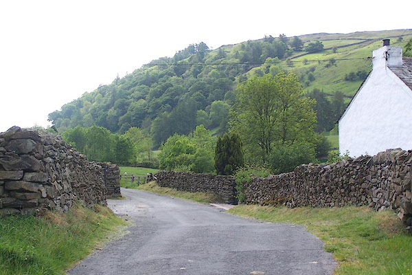 BNU63.jpg Middale farmhouse on the right, and the farm yard on the left. (taken 7.6.2007) 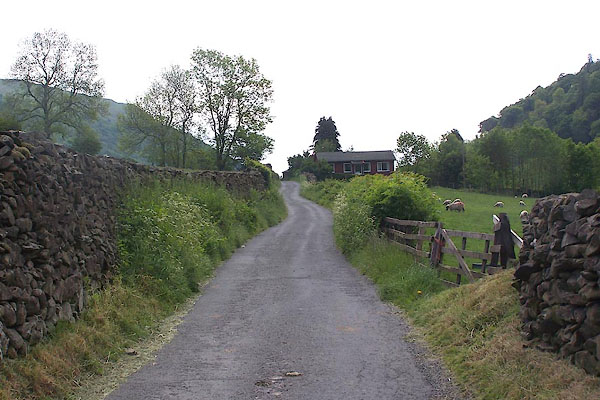 BNU64.jpg Little Wadshowe is the only unfortunate building in the valley. (taken 7.6.2007) 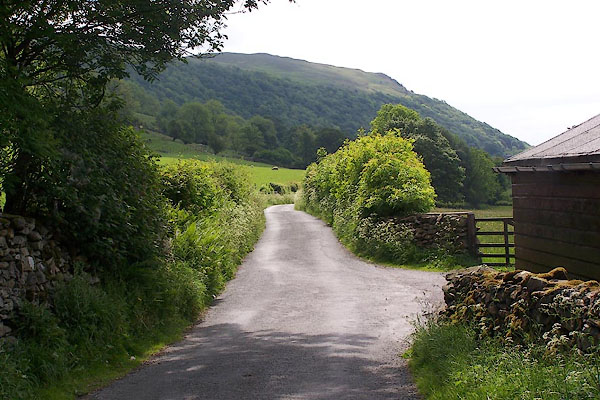 BNU65.jpg Entrance on the right to Wadshowe, Valley View and Spring Cottage. (taken 7.6.2007) 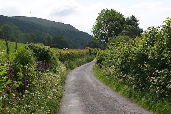 BNU66.jpg (taken 7.6.2007) 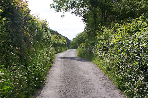 BNU67.jpg (taken 7.6.2007) 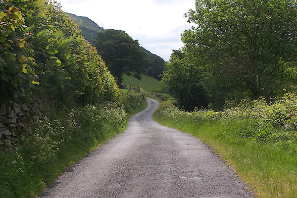 BNU68.jpg (taken 7.6.2007) 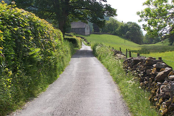 BNU69.jpg (taken 7.6.2007) 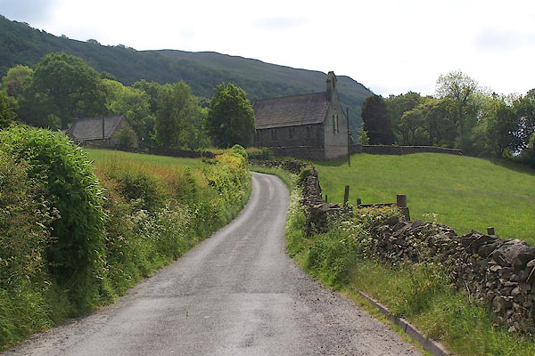 BNU70.jpg (taken 7.6.2007) 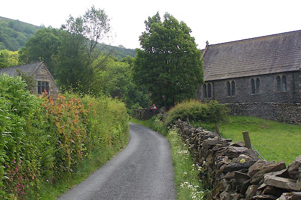 BNU71.jpg St Mary's Church on the right. (taken 7.6.2007) 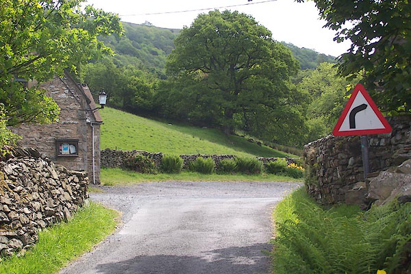 BNU72.jpg On the left the Community Hall, once the valley school. (taken 7.6.2007) |
||
|
|
||
Lakes Guides menu.