 Old Cumbria Gazetteer
 |
 |
|
| trig point, NY6873434321 | ||
| site name:- | Cross Fell | |
| civil parish:- | Culgaith (formerly Cumberland) | |
| county:- | Cumbria | |
| locality type:- | trig point (pillar) | |
| coordinates:- | NY6873434321 | |
| 1Km square:- | NY6834 | |
| 10Km square:- | NY63 | |
| altitude:- | 2931 feet | |
| altitude:- | 893.3m | |
| references:- | OS website |
|
|
|
||
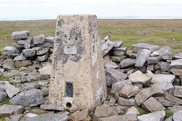 BRF64.jpg (taken 3.8.3009) 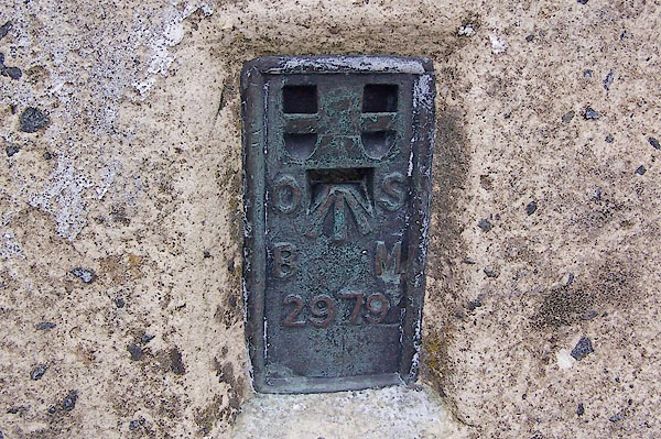 BRF65.jpg Flush racket bench mark. (taken 3.8.3009) 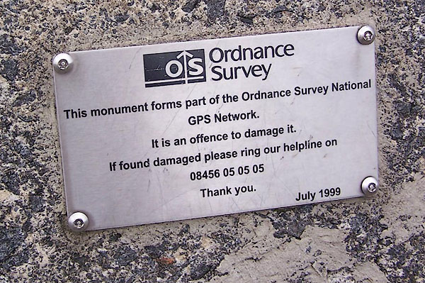 BRF66.jpg Notice about GPS use. (taken 3.8.3009) |
||
|
|
||
| evidence:- | descriptive text:- OS 1967 |
|
| source data:- | Book, the History of the Retriangulation of Great Britain
1935-1962, by the Ordnance Survey, published by HMSO, London,
1967. Position, NGR coordinates, metres (to nearest mm):- "368 734.339 / 534 321.705" Position, latitude and longitude, degrees minutes decimal seconds:- "54 42 10.2226 / 02 29 06.8492 W" |
|
|
|
||
 Lakes Guides menu.