 Old Cumbria Gazetteer
 |
 |
|
| Pooley Mill footbridge, Dacre | ||
| site name:- | Eamont, River | |
| civil parish:- | Dacre (formerly Cumberland) | |
| civil parish:- | Barton (formerly Westmorland) | |
| county:- | Cumbria | |
| locality type:- | footbridge | |
| locality type:- | bridge | |
| locality type:- | suspension bridge | |
| locality type:- | ford | |
| coordinates:- | NY47672595 | |
| 1Km square:- | NY4725 | |
| 10Km square:- | NY42 | |
| SummaryText:- | The bridge provides access to Pooley Mill from the road. | |
|
|
||
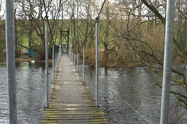 BOV02.jpg (taken 17.3.2008) 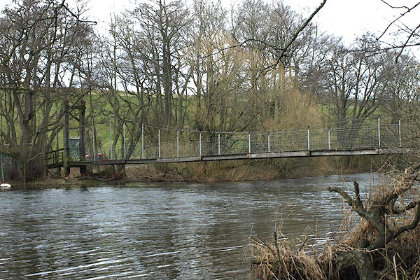 BOV03.jpg (taken 17.3.2008) |
||
|
|
||
| evidence:- | old map:- OS County Series (Cmd 58 15) placename:- |
|
| source data:- | Maps, County Series maps of Great Britain, scales 6 and 25
inches to 1 mile, published by the Ordnance Survey, Southampton,
Hampshire, from about 1863 to 1948. "Ford" |
|
|
|
||
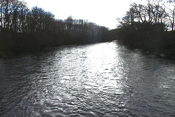 BOV05.jpg View of river. Upstream from Pooley Mill footbridge. (taken 17.3.2008) 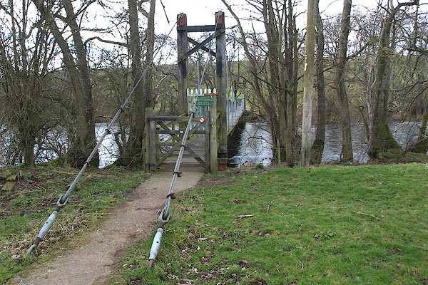 BOV04.jpg (taken 17.3.2008) |
||
|
|
||
 Lakes Guides menu.