 Old Cumbria Gazetteer
 |
 |
|
| canal milestone, Kendal 11 | ||
| site name:- | Lancaster Canal | |
| locality:- | Holme | |
| civil parish:- | Holme (formerly Westmorland) | |
| county:- | Cumbria | |
| locality type:- | canal milestone | |
| coordinates:- | SD52617907 | |
| 1Km square:- | SD5279 | |
| 10Km square:- | SD57 | |
|
|
||
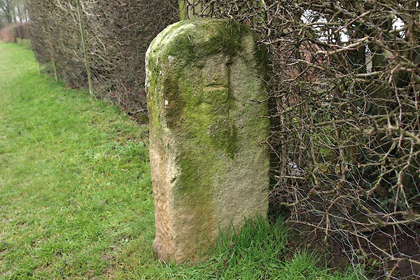 BQA26.jpg N face:- "H" (taken 30.1.2009) 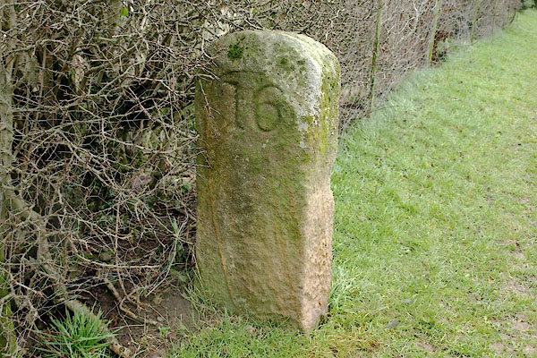 BQA27.jpg S face:- "11" (taken 30.1.2009) |
||
|
|
||
| evidence:- | old map:- OS County Series (Wmd 46 8) |
|
| source data:- | Maps, County Series maps of Great Britain, scales 6 and 25
inches to 1 mile, published by the Ordnance Survey, Southampton,
Hampshire, from about 1863 to 1948. "MS LANCASTER .. 16 KENDAL .. 11" |
|
|
|
||
| evidence:- | database:- Listed Buildings 2010 |
|
| source data:- | courtesy of English Heritage "MILESTONE ON KENDAL/LANCASTER CANAL APPROXIMATELY 100 METRES SOUTH OF HOLME WAREHOUSE BRIDGE / / / HOLME / SOUTH LAKELAND / CUMBRIA / II / 76685 / SD5261479066" |
|
| source data:- | courtesy of English Heritage "Milestone. c.1816. Limestone. Upright stone with round head. Dressed oval panels to each side with 19 inscribed on South and 11 on North, representing miles from Lancaster and Kendal respectively." |
|
|
|
||
 Lakes Guides menu.