 Old Cumbria Gazetteer
 |
 |
|
| Pow Charney Burn | ||
| locality:- | Greenhead | |
| county:- | Northumberland | |
| locality type:- | river | |
| 1Km square:- | NY6566 (etc) | |
| 10Km square:- | NY66 | |
|
|
||
| evidence:- | old map:- Jansson 1646 |
|
| source data:- | Map, hand coloured engraving, Cumbria and Westmoria, ie
Cumberland and Westmorland, scale about 3.5 miles to 1 inch, by
John Jansson, Amsterdam, Netherlands, 1646.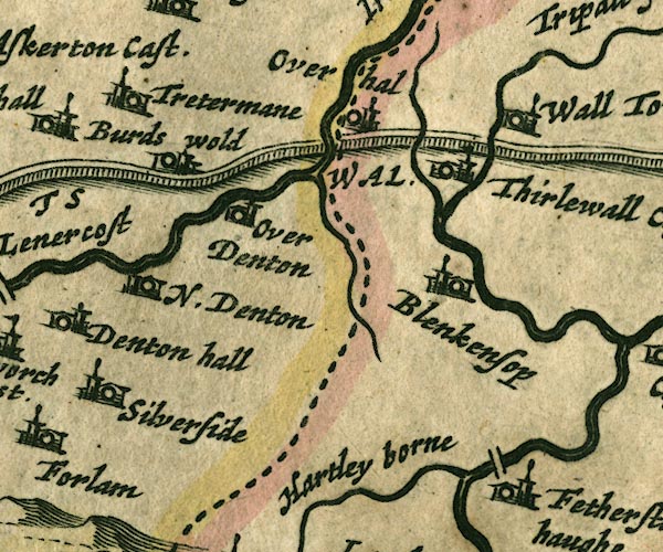 JAN3NY66.jpg Single wiggly line. item:- JandMN : 88 Image © see bottom of page |
|
|
|
||
 Lakes Guides menu.