 Old Cumbria Gazetteer
 |
 |
|
| included in:- |
 Karl Lofts, Shap probably Karl Lofts, Shap probably
|
|
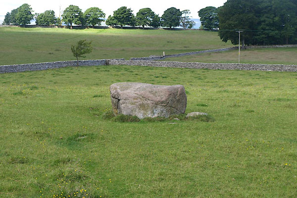
| standing stone, Shap (2) | ||
| locality:- | Karl Lofts | |
| locality:- | Shap | |
| civil parish:- | Shap (formerly Westmorland) | |
| county:- | Cumbria | |
| locality type:- | standing stone | |
| locality type:- | stone | |
| locality type:- | stone alignment | |
| coordinates:- | NY56301478 | |
| 1Km square:- | NY5614 | |
| 10Km square:- | NY51 | |
|
|
||
 BPK79.jpg (taken 4.7.2008) 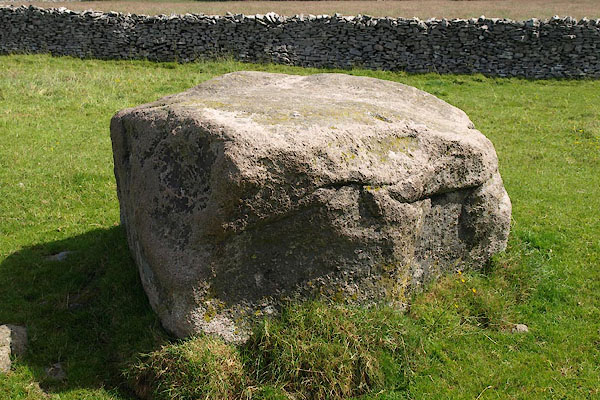 BPK80.jpg (taken 4.7.2008) |
||
|
|
||
| evidence:- | old map:- OS County Series (Wmd 14 14) |
|
| source data:- | Maps, County Series maps of Great Britain, scales 6 and 25
inches to 1 mile, published by the Ordnance Survey, Southampton,
Hampshire, from about 1863 to 1948. "Stone" in English Black Letter |
|
|
|
||
| hearsay:- |
Perhaps a standing stone that used to be part of an alignment of pairs of stones,
an avenue called Karl Lofts. |
|
|
|
||
Lakes Guides menu.