 Old Cumbria Gazetteer
 |
 |
|
| Arkleby Toll Bar, Arkleby | ||
| Arkleby Toll Bar | ||
| locality:- | Arkleby | |
| civil parish:- | Plumbland (formerly Cumberland) | |
| county:- | Cumbria | |
| locality type:- | toll gate (site) | |
| locality type:- | toll house (ex) | |
| coordinates:- | NY14273949 | |
| 1Km square:- | NY1439 | |
| 10Km square:- | NY13 | |
|
|
||
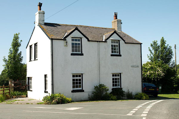 BRB39.jpg (taken 10.7.2009) |
||
|
|
||
| evidence:- | old map:- OS County Series (Cmd 36 13) |
|
| source data:- | Maps, County Series maps of Great Britain, scales 6 and 25
inches to 1 mile, published by the Ordnance Survey, Southampton,
Hampshire, from about 1863 to 1948. "two gates across roads, building to NW" |
|
|
|
||
 Lakes Guides menu.