 Old Cumbria Gazetteer
 |
 |
|
| Garsdale Village Hall, Garsdale | ||
| Garsdale Village Hall | ||
| locality:- | Garsdale | |
| locality:- | Garsdale valley | |
| civil parish:- | Garsdale (formerly Yorkshire) | |
| county:- | Cumbria | |
| locality type:- | village hall | |
| locality type:- | school (ex) | |
| coordinates:- | SD74528960 | |
| 1Km square:- | SD7489 | |
| 10Km square:- | SD78 | |
| SummaryText:- | Recently renovated as a village hall (2009-10) | |
|
|
||
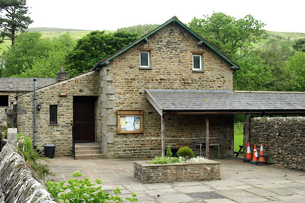 BQV11.jpg (taken 18.6.2009) |
||
|
|
||
| evidence:- | old map:- OS County Series placename:- Garsdale National School placename:- Garsdale School |
|
| source data:- | Maps, County Series maps of Great Britain, scales 6 and 25
inches to 1 mile, published by the Ordnance Survey, Southampton,
Hampshire, from about 1863 to 1948. "National School" |
|
|
|
||
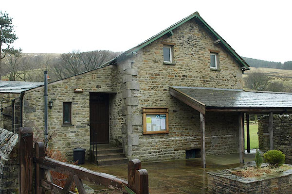 BSF13.jpg (taken 26.2.2010) 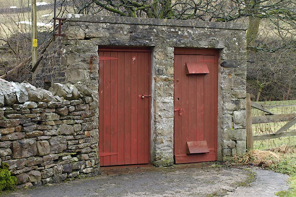 BSF14.jpg Round the back. (taken 26.2.2010) |
||
|
|
||
 Lakes Guides menu.