 Old Cumbria Gazetteer
 |
 |
|
| Low Scar, Garsdale | ||
| Low Scar | ||
| locality:- | Garsdale valley | |
| civil parish:- | Garsdale (formerly Yorkshire) | |
| county:- | Cumbria | |
| locality type:- | buildings | |
| coordinates:- | SD77169056 | |
| 1Km square:- | SD7790 | |
| 10Km square:- | SD79 | |
|
|
||
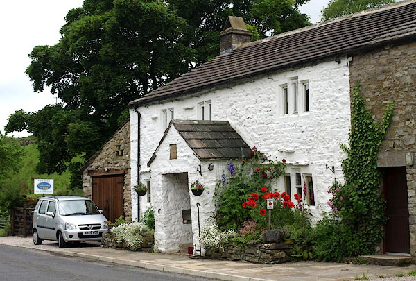 BQV23.jpg (taken 18.6.2009) 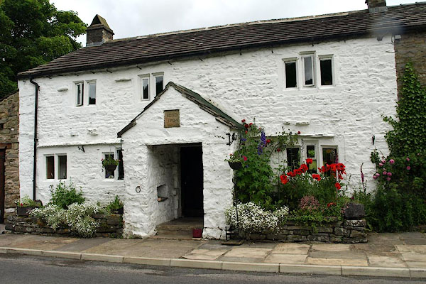 BQV24.jpg (taken 18.6.2009) |
||
|
|
||
| evidence:- | database:- Listed Buildings 2010 placename:- Low Scar item:- date stone (1724) |
|
| source data:- | courtesy of English Heritage "LOW SCAR AND BARN ATTACHED TO EAST / / HAWES ROAD / GARSDALE / SOUTH LAKELAND / CUMBRIA / II / 484470 / SD7715690559" |
|
|
|
||
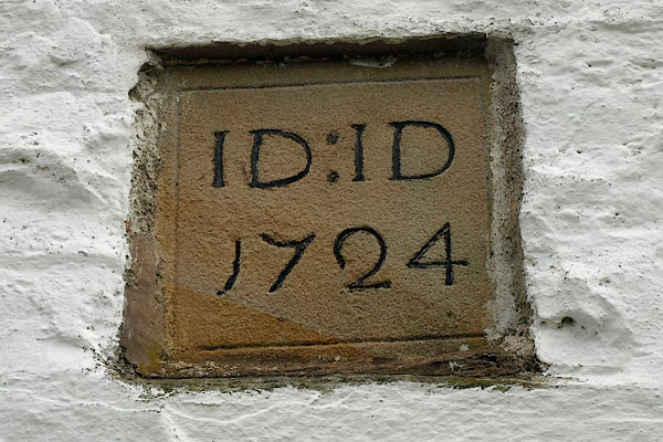 BQV26.jpg Date stone:- "ID : ID / 1724" (taken 18.6.2009) 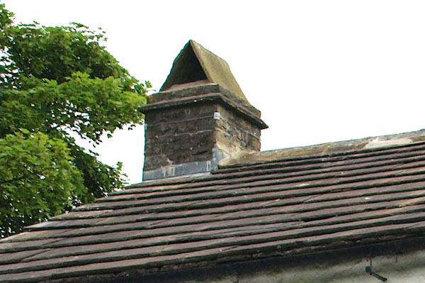 BQV25.jpg Chimney, sandstone slabs. (taken 18.6.2009) |
||
|
|
||
 Lakes Guides menu.