 Old Cumbria Gazetteer
 |
 |
|
| stepping stones, Hall Dunnerdale | ||
| site name:- | Duddon, River | |
| locality:- | Hall Dunnerdale | |
| civil parish:- | Dunnerdale-with-Seathwaite (formerly Lancashire) | |
| civil parish:- | Ulpha (formerly Cumberland) | |
| county:- | Cumbria | |
| locality type:- | stepping stones | |
| coordinates:- | SD21449558 | |
| 1Km square:- | SD2195 | |
| 10Km square:- | SD29 | |
|
|
||
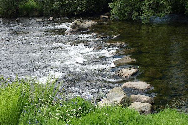 BQQ07.jpg (taken 29.5.2009) 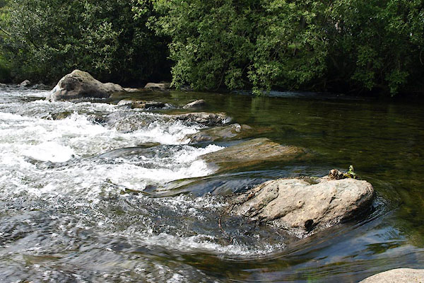 BQQ08.jpg (taken 29.5.2009) |
||
|
|
||
| evidence:- | old map:- OS County Series |
|
| source data:- | Maps, County Series maps of Great Britain, scales 6 and 25
inches to 1 mile, published by the Ordnance Survey, Southampton,
Hampshire, from about 1863 to 1948. "Stepping Stones" |
|
|
|
||
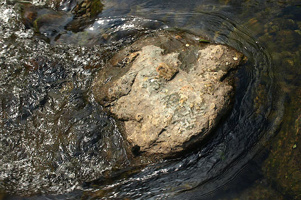 BQQ09.jpg (taken 29.5.2009) 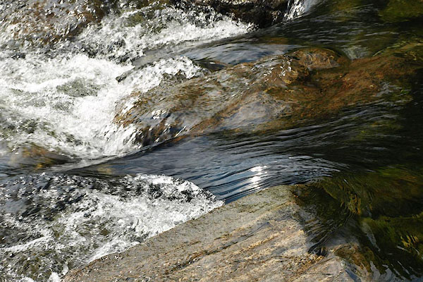 BQQ10.jpg (taken 29.5.2009) |
||
|
|
||
| hearsay:- |
Track to Pannel Holme from Hall Dunnerdale. |
|
|
|
||
 Lakes Guides menu.