 Old Cumbria Gazetteer
 |
 |
|
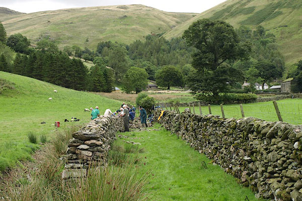
| stone wall, Longsleddale (7) | ||
| site name:- | Lovers' Lane (once) | |
| locality:- | Longsleddale | |
| civil parish:- | Longsleddale (formerly Westmorland) | |
| county:- | Cumbria | |
| locality type:- | stone wall | |
| locality type:- | dry stone walling | |
| locality type:- | workplace | |
| coordinates:- | NY48910523 (about) | |
| 1Km square:- | NY4805 | |
| 10Km square:- | NY40 | |
| amateur | ||
| stratigraphy:- | Ordovician | |
|
|
||
| MN photo:- |
Volunteers working with the Lake District National Park Authoriy. |
|
 BRI08.jpg (taken 27.8.2009) 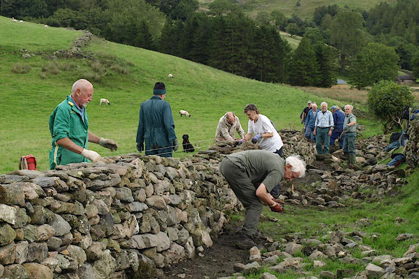 BRI09.jpg (taken 27.8.2009) 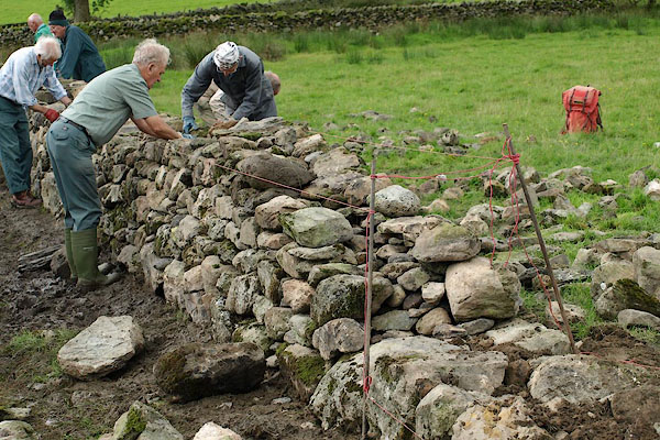 BRI10.jpg (taken 27.8.2009) 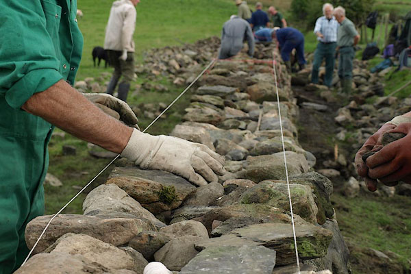 BRI11.jpg (taken 27.8.2009) 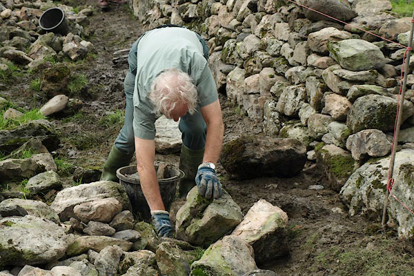 BRI12.jpg (taken 27.8.2009) 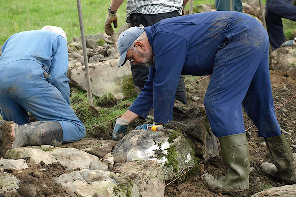 BRI13.jpg (taken 27.8.2009) 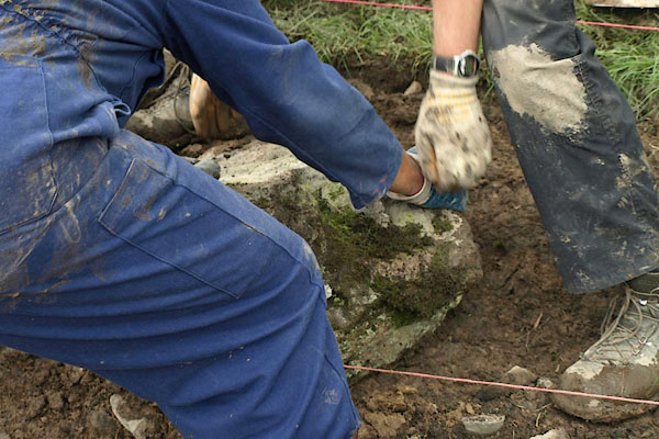 BRI14.jpg (taken 27.8.2009) 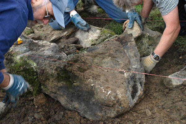 BRI15.jpg (taken 27.8.2009) 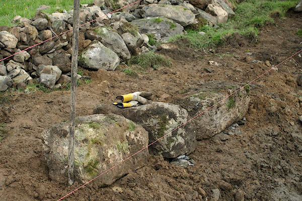 BRI16.jpg (taken 27.8.2009) 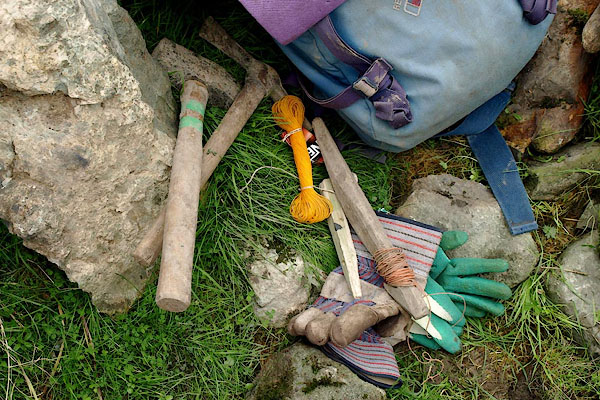 BRI17.jpg (taken 27.8.2009) |
||
|
|
||
 Lakes Guides menu.