 Old Cumbria Gazetteer
 |
 |
|
| Grange-over-Sands: Cart Lane | ||
| Cart Lane | ||
| locality:- | Grange-over-Sands | |
| civil parish:- | Grange-over-Sands (formerly Lancashire) | |
| county:- | Cumbria | |
| locality type:- | road | |
| locality type:- | street | |
| coordinates:- | SD39737717 (etc) | |
| 1Km square:- | SD3977 | |
| 10Km square:- | SD37 | |
|
|
||
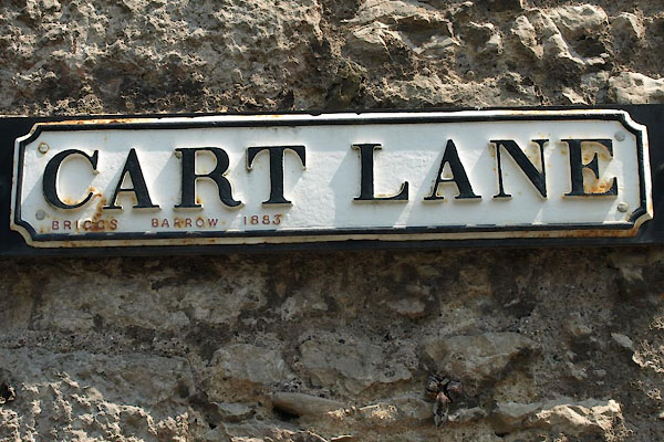 BYS28.jpg Cast iron:- "CART LANE / BRIGGS BARROW 1883" (taken 5.7.2013) |
||
|
|
||
| evidence:- | old map:- OS County Series (Lan 17 8) placename:- Cart Lane |
|
| source data:- | Maps, County Series maps of Great Britain, scales 6 and 25
inches to 1 mile, published by the Ordnance Survey, Southampton,
Hampshire, from about 1863 to 1948. |
|
|
|
||
| evidence:- | old map:- OS County Series (Lan 17) placename:- Cart Lane |
|
| source data:- | Maps, County Series maps of Great Britain, scales 6 and 25
inches to 1 mile, published by the Ordnance Survey, Southampton,
Hampshire, from about 1863 to 1948. "Cart Lane" leading to the coast near Low House |
|
|
|
||
| evidence:- | old map:- OS County Series (Lan 17) |
|
| source data:- | Maps, County Series maps of Great Britain, scales 6 and 25
inches to 1 mile, published by the Ordnance Survey, Southampton,
Hampshire, from about 1863 to 1948. "Ash Tree &[Large] Stone" on Cart Lane |
|
|
|
||
 Lakes Guides menu.