 Old Cumbria Gazetteer
 |
 |
|
| Couplandbeck Bridge, Coupland | ||
| Couplandbeck Bridge | ||
| site name:- | Coupland Beck | |
| locality:- | Coupland | |
| civil parish:- | Warcop (formerly Westmorland) | |
| civil parish:- | Murton (formerly Westmorland) | |
| county:- | Cumbria | |
| locality type:- | bridge | |
| coordinates:- | NY71041888 | |
| 1Km square:- | NY7118 | |
| 10Km square:- | NY71 | |
|
|
||
| evidence:- | old map:- OS County Series (Wmd 15 4) placename:- Couplandbeck Bridge |
|
| source data:- | Maps, County Series maps of Great Britain, scales 6 and 25
inches to 1 mile, published by the Ordnance Survey, Southampton,
Hampshire, from about 1863 to 1948. "Coupland Bridge" |
|
|
|
||
| evidence:- | probably old map:- Morden 1695 (Wmd) |
|
| source data:- | Map, hand coloured engraving, Westmorland, scale about 2.5 miles to 1 inch, by Robert
Morden, published by Abel Swale, the Unicorn, St Paul's Churchyard, Awnsham, and John
Churchill, the Black Swan, Paternoster Row, London, 1695.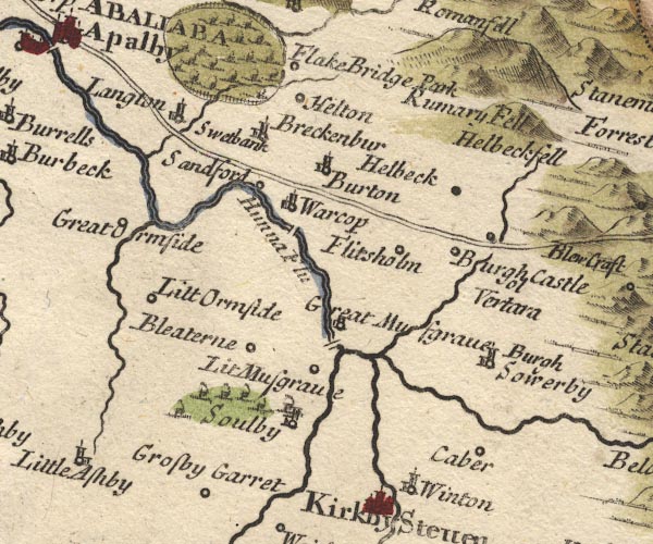 MD10NY71.jpg Double line over a stream item:- JandMN : 24 Image © see bottom of page |
|
|
|
||
| evidence:- | probably old text:- Camden 1789 (Gough Additions) placename:- Cowpland Beck Bridge |
|
| source data:- | Book, Britannia, or A Chorographical Description of the Flourishing Kingdoms of England,
Scotland, and Ireland, by William Camden, 1586, translated from the 1607 Latin edition
by Richard Gough, published London, 1789. goto source goto sourcePage 159:- "... to Cowpland beck bridge, ..." |
|
|
|
||
Lakes Guides menu.