 Old Cumbria Gazetteer
 |
 |
|
| Eddy Grave Stake, St John's Castlerigg etc | ||
| Eddy Grave Stake | ||
| civil parish:- | St John's Castlerigg and Wythburn (formerly Cumberland) | |
| civil parish:- | Borrowdale (formerly Cumberland) | |
| county:- | Cumbria | |
| locality type:- | post | |
| locality type:- | boundary mark | |
| locality type:- | parish boundary mark | |
| coordinates:- | NY29001699 | |
| 1Km square:- | NY2916 | |
| 10Km square:- | NY21 | |
|
|
||
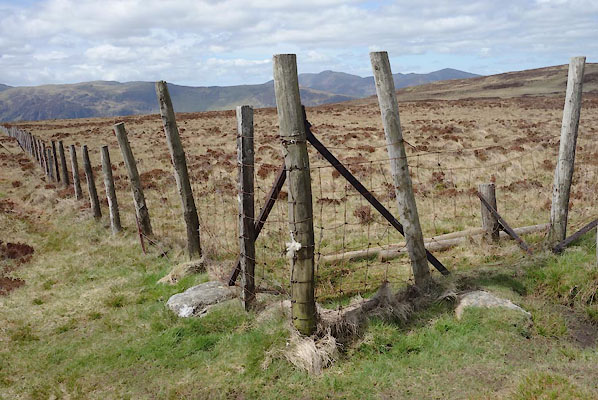 BYJ40.jpg (taken 22.5.2013) |
||
|
|
||
| evidence:- | old map:- OS County Series (Cmd 70 7) placename:- Eddy Grave Stake |
|
| source data:- | Maps, County Series maps of Great Britain, scales 6 and 25
inches to 1 mile, published by the Ordnance Survey, Southampton,
Hampshire, from about 1863 to 1948. "Eddy Grave Stake / PIle of Stones / B.M. 1655.3" |
|
|
|
||
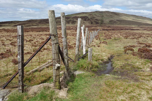 BYJ42.jpg (taken 22.5.2013) 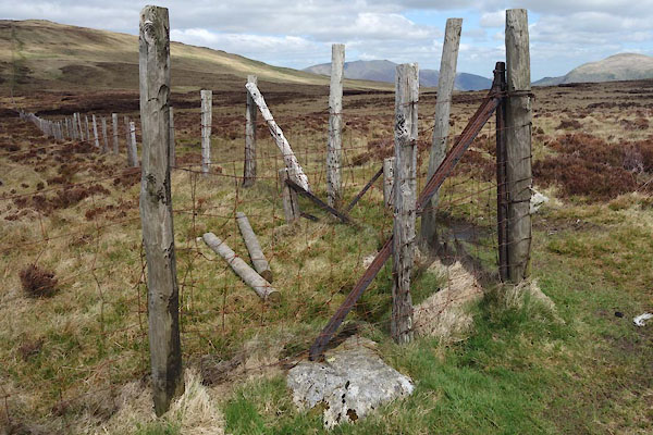 BYJ41.jpg (taken 22.5.2013) |
||
|
|
||
 Lakes Guides menu.