 Old Cumbria Gazetteer
 |
 |
|
| Hughscrag Viaduct, Yanwath etc | ||
| Hughscrag Viaduct | ||
| Lowther Viaduct | ||
| site name:- | Lancaster and Carlisle Railway | |
| site name:- | Lowther, River | |
| civil parish:- | Yanwath and Eamont Bridge (formerly Westmorland) | |
| civil parish:- | Clifton (formerly Westmorland) | |
| county:- | Cumbria | |
| locality type:- | ||
| coordinates:- | NY52552704 | |
| 1Km square:- | NY5227 | |
| 10Km square:- | NY52 | |
|
|
||
 BUN64.jpg (taken 13.5.2011) 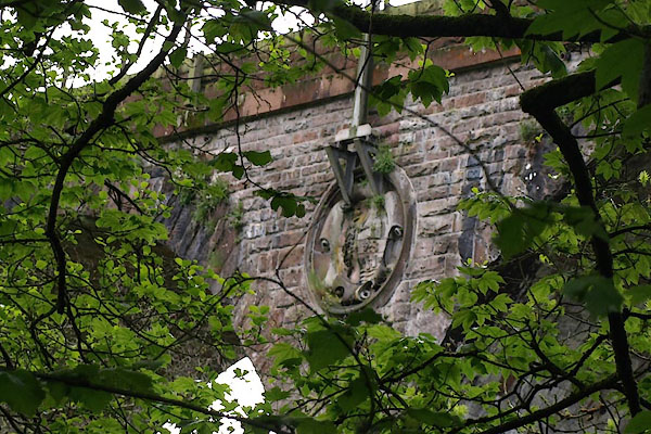 BUN65.jpg Coat of arms, Lancaster and Carlisle Railway. (taken 13.5.2011) |
||
|
|
||
| evidence:- | old map:- OS County Series (Wmd 3) placename:- Hughscrag Viaduct |
|
| source data:- | Maps, County Series maps of Great Britain, scales 6 and 25
inches to 1 mile, published by the Ordnance Survey, Southampton,
Hampshire, from about 1863 to 1948. "Hughscrag Viaduct / Lancaster and Carlisle Railway / Lowther, River" |
|
|
|
||
| evidence:- | database:- Listed Buildings 2010 placename:- Clifton Viaduct |
|
| source data:- | courtesy of English Heritage "CLIFTON VIADUCT / / / CLIFTON / EDEN / CUMBRIA / II / 74221 / NY5244827054" |
|
| source data:- | courtesy of English Heritage "Railway viaduct. 1846 by John Locke for the Lancaster & Carlisle Railway. Quarry- faced red sandstone ashlar. High viaduct of 5 segmental arches with solid parapet. Was called Clifton Viaduct when built. Illustrated in John Steel, Guide to the Lancaster & Carlisle Railway, 1847, as one of the engineering feats on the line. This viaduct lies partly in Yanwath &Eamont Bridge C.P." |
|
|
|
||
 Lakes Guides menu.