 Old Cumbria Gazetteer
 |
 |
|
| Mousegill Viaduct, Stainmore | ||
| Mousegill Viaduct | ||
| site name:- | South Durham and Lancashire Union Railway | |
| site name:- | Mousegill Beck | |
| civil parish:- | Stainmore (formerly Westmorland) | |
| county:- | Cumbria | |
| locality type:- | railway viaduct (gone) | |
| locality type:- | viaduct (gone) | |
| coordinates:- | NY84701232 | |
| coordinates:- | NY84661228 | |
| 1Km square:- | NY8412 | |
| 10Km square:- | NY81 | |
|
|
||
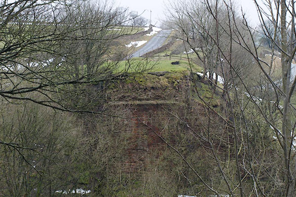
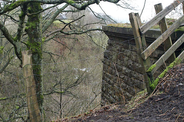 BRZ71.jpg From the NE end. (taken 22.1.2010) 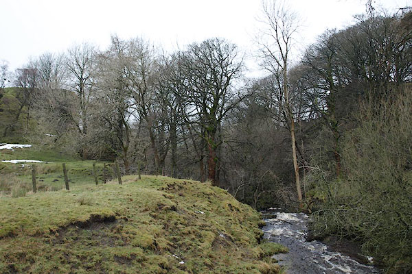 BRZ70.jpg The end piers are just a shadow in the trees. (taken 22.1.2010) |
||
|
|
||
| evidence:- | old map:- OS County Series (Wmd 24 2) placename:- Mousegill Viaduct item:- railway milepost |
|
| source data:- | Maps, County Series maps of Great Britain, scales 6 and 25
inches to 1 mile, published by the Ordnance Survey, Southampton,
Hampshire, from about 1863 to 1948.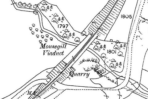 click to enlarge click to enlargeCSRY0193.jpg "Mousegill Viaduct / M.P." |
|
|
|
||
 BRZ72.jpg View SW. (taken 22.1.2010) 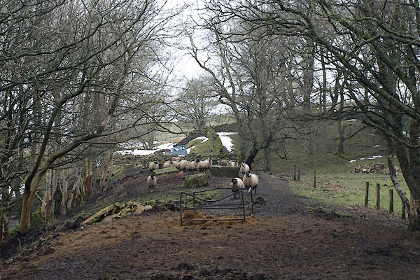 BRZ73.jpg View NE. (taken 22.1.2010) |
||
|
|
||
 Lakes Guides menu.