 Old Cumbria Gazetteer
 |
 |
|
| Scalebarrow Fold, Shap Rural | ||
| Scalebarrow Fold | ||
| locality:- | Scalebarrow Knott | |
| civil parish:- | Shap Rural (formerly Westmorland) | |
| county:- | Cumbria | |
| locality type:- | sheepfold | |
| coordinates:- | NY51611514 | |
| 1Km square:- | NY5115 | |
| 10Km square:- | NY51 | |
|
|
||
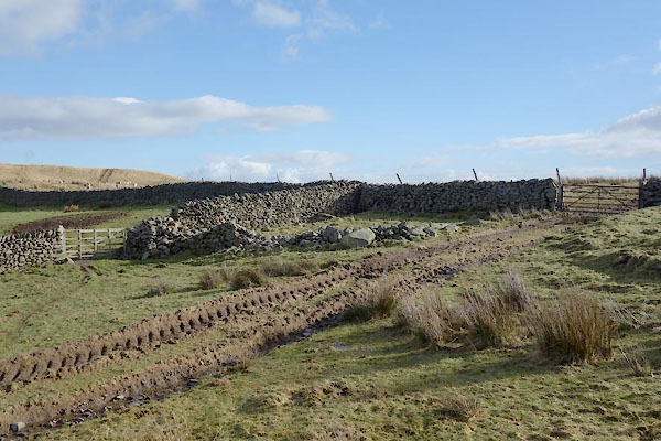 BZW74.jpg (taken 16.2.2014) 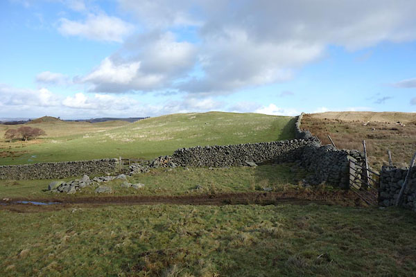 BZW75.jpg (taken 16.2.2014) |
||
|
|
||
| evidence:- | old map:- OS County Series (Wmd 13 16) placename:- Scalebarrow Fold |
|
| source data:- | Maps, County Series maps of Great Britain, scales 6 and 25
inches to 1 mile, published by the Ordnance Survey, Southampton,
Hampshire, from about 1863 to 1948. "Scalebarrow Fold" |
|
|
|
||
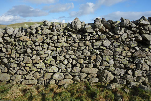 BZW76.jpg Walling. (taken 16.2.2014) 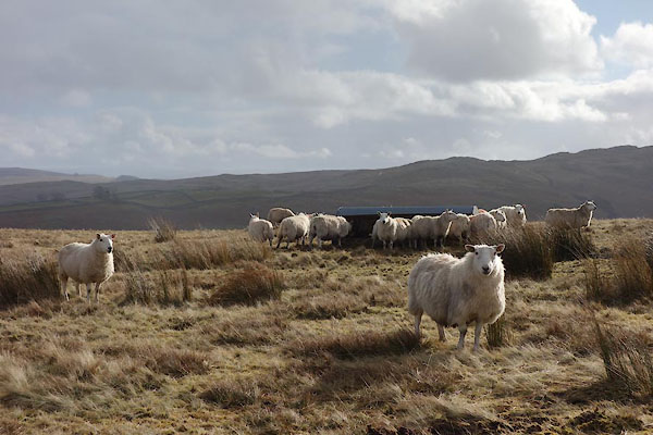 BZW77.jpg Sheep, Border Leicester or North Country Cheviot? (taken 16.2.2014) |
||
|
|
||
 Lakes Guides menu.