 Old Cumbria Gazetteer
 |
 |
|
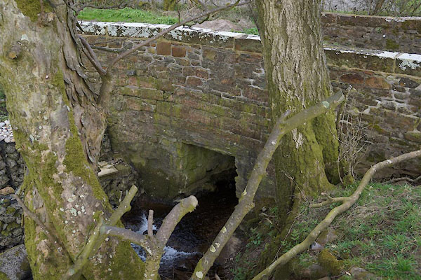
| Stegcroft Bridge, Lamplugh | ||
| Stegcroft Bridge | ||
| site name:- | Rakegill Beck | |
| locality:- | Lamplugh | |
| civil parish:- | Lamplugh (formerly Cumberland) | |
| county:- | Cumbria | |
| locality type:- | bridge | |
| coordinates:- | NY08372038 | |
| 1Km square:- | NY0820 | |
| 10Km square:- | NY02 | |
|
|
||
 CCU35.jpg (taken 10.4.2015) |
||
|
|
||
| evidence:- | old map:- OS County Series (Cmd 62 14) placename:- Stegcroft Bridge |
|
| source data:- | Maps, County Series maps of Great Britain, scales 6 and 25
inches to 1 mile, published by the Ordnance Survey, Southampton,
Hampshire, from about 1863 to 1948. |
|
|
|
||
| evidence:- | old map:- OS County Series (Cmd 62) placename:- Slegcroft Bridge |
|
| source data:- | Maps, County Series maps of Great Britain, scales 6 and 25
inches to 1 mile, published by the Ordnance Survey, Southampton,
Hampshire, from about 1863 to 1948. "Slegcroft Bridge" |
|
|
|
||
 Lakes Guides menu.