 Old Cumbria Gazetteer
 |
 |
|
| Big Stanger Gill | ||
| runs into:- |  Stonethwaite Beck Stonethwaite Beck |
|
|
|
||
| locality:- | Borrowdale Fells | |
| civil parish:- | Borrowdale (formerly Cumberland) | |
| county:- | Cumbria | |
| locality type:- | river | |
| 1Km square:- | NY2612 (etc) | |
| 10Km square:- | NY21 | |
|
|
||
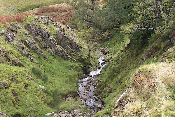 BTO74.jpg (taken 22.9.2010) 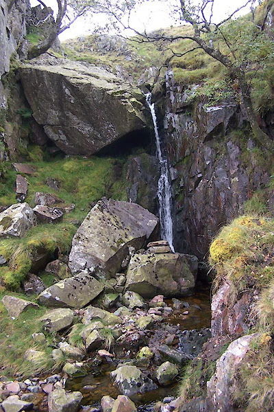 BTO75.jpg Waterfall, (taken 22.9.2010) |
||
|
|
||
| evidence:- | old map:- OS County Series (Cmd 70 14) placename:- Stanger Gill |
|
| source data:- | Maps, County Series maps of Great Britain, scales 6 and 25
inches to 1 mile, published by the Ordnance Survey, Southampton,
Hampshire, from about 1863 to 1948. |
|
|
|
||
Lakes Guides menu.