 Old Cumbria Gazetteer
 |
 |
|
| Bridge End House, Cockermouth | ||
| Bridge End House | ||
| Street:- | Gote Road | |
| civil parish:- | Cockermouth (formerly Cumberland) | |
| county:- | Cumbria | |
| locality type:- | buildings | |
| coordinates:- | NY11613077 | |
| 1Km square:- | NY1130 | |
| 10Km square:- | NY13 | |
| references:- | Listed Buildings 2010 |
|
|
|
||
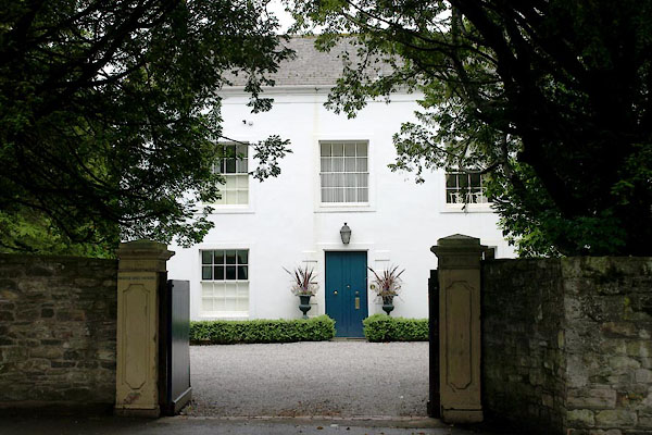 BYO91.jpg (taken 21.6.2013) |
||
|
|
||
| evidence:- | old map:- OS County Series (Cmd 54 4) placename:- Derwent House |
|
| source data:- | Maps, County Series maps of Great Britain, scales 6 and 25
inches to 1 mile, published by the Ordnance Survey, Southampton,
Hampshire, from about 1863 to 1948. |
|
|
|
||
| evidence:- | database:- Listed Buildings 2010 placename:- Bridge End House |
|
| source data:- | courtesy of English Heritage "BRIDGE END HOUSE / / GOTE ROAD / COCKERMOUTH / ALLERDALE / CUMBRIA / II / 71675 / NY1161430775" |
|
|
|
||
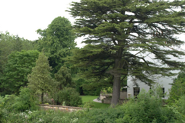 BYO92.jpg (taken 21.6.2013) |
||
|
|
||
 Lakes Guides menu.