 Old Cumbria Gazetteer
 |
 |
|
| Bull's Head Farm, Hesket | ||
| Bull's Head Farm | ||
| civil parish:- | Hesket (formerly Cumberland) | |
| county:- | Cumbria | |
| locality type:- | buildings | |
| locality type:- | inn (ex) | |
| coordinates:- | NY48973983 | |
| 1Km square:- | NY4839 | |
| 10Km square:- | NY43 | |
| references:- | Listed Buildings 2010 |
|
|
|
||
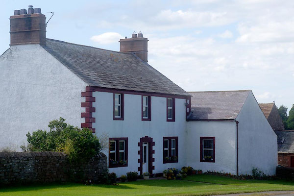 CDM93.jpg (taken 3.7.2015) |
||
|
|
||
| evidence:- | old map:- OS County Series (Cmd 39 11) placename:- Bull's Head |
|
| source data:- | Maps, County Series maps of Great Britain, scales 6 and 25
inches to 1 mile, published by the Ordnance Survey, Southampton,
Hampshire, from about 1863 to 1948. |
|
|
|
||
| evidence:- | database:- Listed Buildings 2010 placename:- Bull's Head Farm item:- date stone (1804) |
|
| source data:- | courtesy of English Heritage "BULL'S HEAD FARMHOUSE / / / HESKET / EDEN / CUMBRIA / II / 73906 / NY4897739837" |
|
|
|
||
 Lakes Guides menu.