 |
 |
|
|
|
|
Castletown |
| civil parish:- |
Rockcliffe (formerly Cumberland) |
| county:- |
Cumbria |
| locality type:- |
locality |
| locality type:- |
buildings |
| coordinates:- |
NY35296195 (etc) |
| 1Km square:- |
NY3561 |
| 10Km square:- |
NY36 |
|
|
| evidence:- |
old map:- OS County Series (Cmd 16 5)
placename:- Castletown
|
| source data:- |
Maps, County Series maps of Great Britain, scales 6 and 25
inches to 1 mile, published by the Ordnance Survey, Southampton,
Hampshire, from about 1863 to 1948.
|
|
|
| evidence:- |
old map:- OS County Series (Cmd 16)
placename:- Castletown
|
| source data:- |
Maps, County Series maps of Great Britain, scales 6 and 25
inches to 1 mile, published by the Ordnance Survey, Southampton,
Hampshire, from about 1863 to 1948.
"Castletown"
|
|
|
| evidence:- |
old map:- Donald 1774 (Cmd)
placename:- Castle Town
|
| source data:- |
Map, hand coloured engraving, 3x2 sheets, The County of Cumberland, scale about 1
inch to 1 mile, by Thomas Donald, engraved and published by Joseph Hodskinson, 29
Arundel Street, Strand, London, 1774.
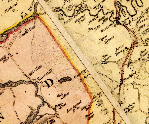
D4NY36SE.jpg
"Castle Town"
block or blocks, labelled in lowercase; a hamlet or just a house
item:- Carlisle Library : Map 2
Image © Carlisle Library |
|
|
| places:- |
 |
NY50873013 Ash Grove (Penrith) L out of sight |
|
|
|
NY50773006 Ashbank (Penrith) |
|
|
 |
NY50273009 Castletown Bridge (Penrith) |
|
|
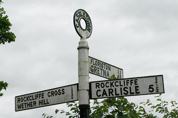 |
NY35066218 fingerpost, Rockcliffe (4) (Rockcliffe) |
|
|
|
NY51123003 Newlands Lodge (Penrith) |
|
|
|
NY50992993 Newlands Place (Penrith) |
|
|
|
NY51053002 Newlands Terrace (Penrith) |
|
|
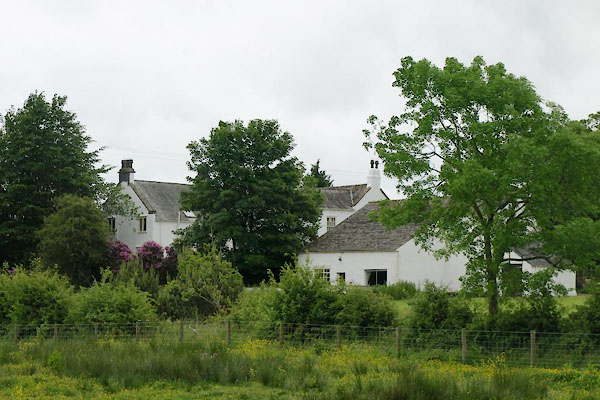 |
NY35446194 Old Hall (Rockcliffe) L |
|
|
|
NY50863010 Alexandra Road (Penrith) |
|
|
|
NY51033009 Brougham Street (Penrith) |
|
|
|
NY51013010 Cross Street (Penrith) |
|
|
|
NY50973007 Howard Street (Penrith) |
|
|
|
NY51063015 Mill Street (Penrith) |
|
|
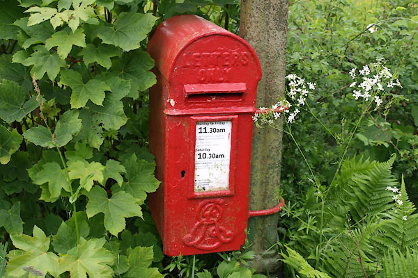 |
NY35086218 post box, Rockcliffe (Rockcliffe) |
|
|
|
NY51113000 Railway Inn (Penrith) |
|
|
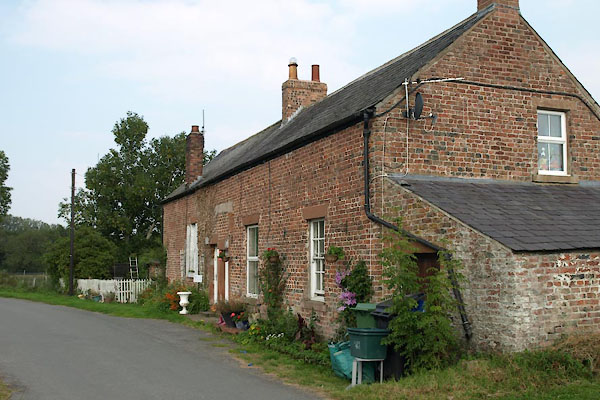 |
NY35316201 Castletown School (Rockcliffe) |
|
|
|
NY34916196 spring, Rockcliffe (Rockcliffe) |
|
|
|
NY50903004 Union Terrace (Penrith) |
|
