 Old Cumbria Gazetteer
 |
 |
|
| High Trees West, Lamplugh | ||
| High Trees West Farm | ||
| civil parish:- | Lamplugh (formerly Cumberland) | |
| county:- | Cumbria | |
| locality type:- | buildings | |
| coordinates:- | NY08211997 | |
| 1Km square:- | NY0819 | |
| 10Km square:- | NY01 | |
| references:- | Listed Buildings 2010 |
|
|
|
||
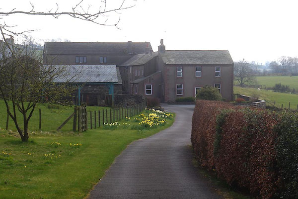 CCU37.jpg (taken 10.4.2015) |
||
|
|
||
| evidence:- | old map:- OS County Series (Cmd 62 14) placename:- High Trees placename:- Trees, High |
|
| source data:- | Maps, County Series maps of Great Britain, scales 6 and 25
inches to 1 mile, published by the Ordnance Survey, Southampton,
Hampshire, from about 1863 to 1948. |
|
|
|
||
| evidence:- | old map:- Donald 1774 (Cmd) placename:- High Trees |
|
| source data:- | Map, hand coloured engraving, 3x2 sheets, The County of Cumberland, scale about 1
inch to 1 mile, by Thomas Donald, engraved and published by Joseph Hodskinson, 29
Arundel Street, Strand, London, 1774.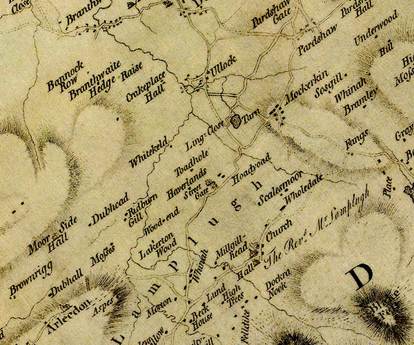 D4NY02SE.jpg "High Trees" block or blocks, labelled in lowercase; a hamlet or just a house item:- Carlisle Library : Map 2 Image © Carlisle Library |
|
|
|
||
| evidence:- | database:- Listed Buildings 2010 placename:- High Trees West Farm |
|
| source data:- | courtesy of English Heritage "HIGH TREES, WEST FARMHOUSE AND ADJOINING BYRE RANGE / / / LAMPLUGH / COPELAND / CUMBRIA / II / 76250 / NY0821219978" |
|
|
|
||
 Lakes Guides menu.