 Old Cumbria Gazetteer
 |
 |
|
| Kendal: Kirkland | ||
| Kirkland | ||
| locality:- | Kendal | |
| civil parish:- | Kendal (formerly Westmorland) | |
| county:- | Cumbria | |
| locality type:- | street | |
| coordinates:- | SD51569214 (etc) | |
| 1Km square:- | SD5192 | |
| 10Km square:- | SD59 | |
|
|
||
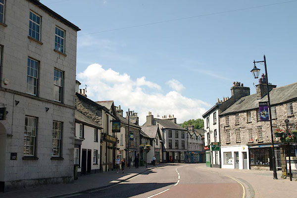 BUW47.jpg (taken 3.7.2011) |
||
|
|
||
| evidence:- | old map:- OS County Series (Wmd 38 8) placename:- Kirkland |
|
| source data:- | Maps, County Series maps of Great Britain, scales 6 and 25
inches to 1 mile, published by the Ordnance Survey, Southampton,
Hampshire, from about 1863 to 1948. |
|
|
|
||
| evidence:- | old map:- Speed 1611 placename:- Churche Lane |
|
| source data:- | Map, hand coloured engraving, The Countie Westmorland and
Kendale the Cheif Towne, scale about 2.5 miles to 1 inch, by
John Speed, 1610, published by George Humble, Popes Head Alley,
London, 1611-12.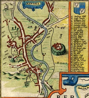 click to enlarge click to enlargeSP14Mk.jpg street of houses item:- Armitt Library : 2008.14.5 Image © see bottom of page |
|
|
|
||
| evidence:- | hearth tax returns:- Hearth Tax 1675 placename:- Churchland |
|
| source data:- | Records, hearth tax survey returns, Westmorland, 1674/75. "Churchland" in "Kendal parish" |
|
|
|
||
| evidence:- | old map:- Jefferys 1770 placename:- Kirkland |
|
| source data:- | Map, 4 sheets, The County of Westmoreland, scale 1 inch to 1
mile, surveyed 1768, and engraved and published by Thomas
Jefferys, London, 1770.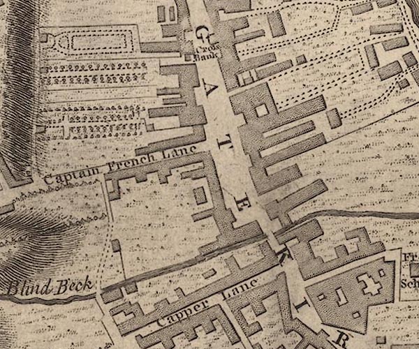 J55192L.jpg 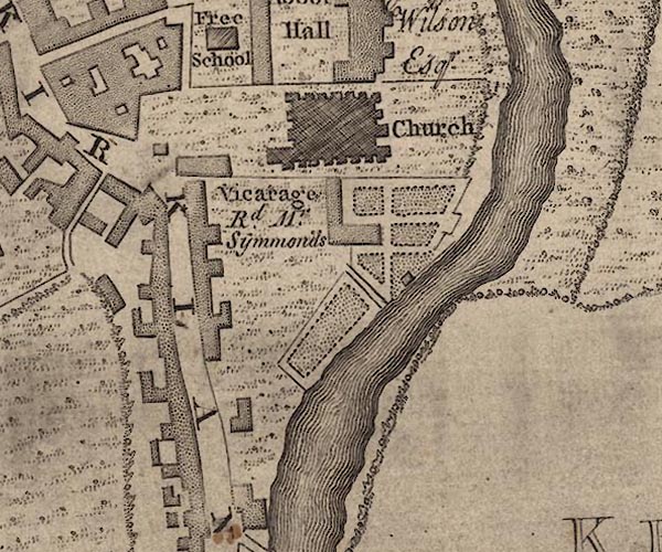 J55192Q.jpg 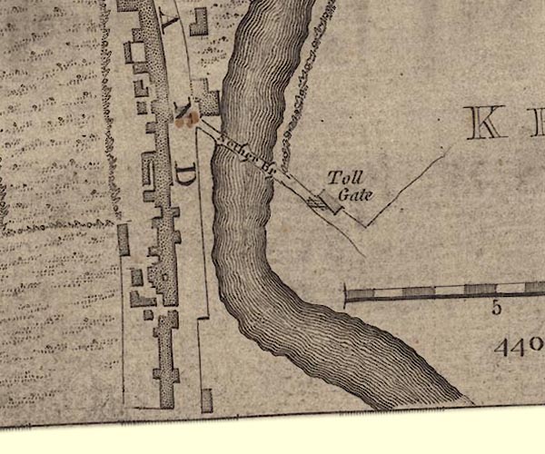 J55191U.jpg "KIRKLAND" street item:- National Library of Scotland : EME.s.47 Images © National Library of Scotland |
|
|
|
||
| evidence:- | old text:- Capper 1808 |
|
| source data:- | Gazetteer, A Topographical Dictionary of the United Kingdom,
compiled by Benjamin Pitts Capper, published by Richard
Phillips, Bridge Street, Blackfriars, London, 1808; published
1808-29. goto source goto source"[Kendal] ... The entrance from the south is by another bridge, which makes a short turn into the outskirts of the town, where the street expands, and has a pleasant appearance. ..." |
|
|
|
||
Lakes Guides menu.