 Old Cumbria Gazetteer
 |
 |
|
| Longburgh House, Longburgh | ||
| Longburgh House | ||
| locality:- | Longburgh | |
| civil parish:- | Burgh by Sands (formerly Cumberland) | |
| county:- | Cumbria | |
| locality type:- | buildings | |
| coordinates:- | NY30835891 | |
| 1Km square:- | NY3058 | |
| 10Km square:- | NY35 | |
| references:- | Listed Buildings 2010 |
|
|
|
||
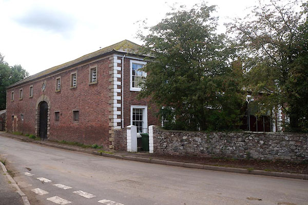 CBM08.jpg (taken 22.8.2014) 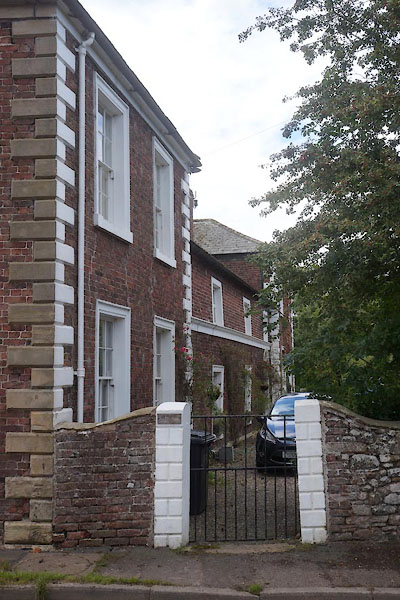 CBM09.jpg (taken 22.8.2014) |
||
|
|
||
| evidence:- | old map:- OS County Series (Cmd 15 16) placename:- Longburgh House |
|
| source data:- | Maps, County Series maps of Great Britain, scales 6 and 25
inches to 1 mile, published by the Ordnance Survey, Southampton,
Hampshire, from about 1863 to 1948. |
|
|
|
||
| evidence:- | database:- Listed Buildings 2010 placename:- Longburgh House item:- date stone (1782) |
|
| source data:- | courtesy of English Heritage "LONGBURGH HOUSE AND ADJOINING OUTBUILDINGS / / / BURGH BY SANDS / CARLISLE / CUMBRIA / II / 78241 / NY3081958909" |
|
|
|
||
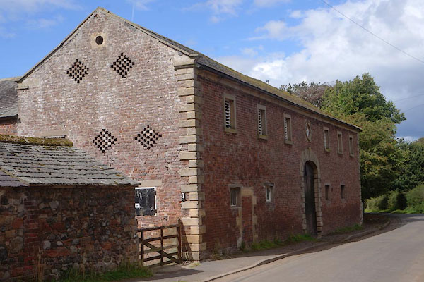 CBM11.jpg Barn. (taken 22.8.2014) 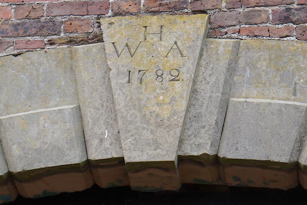 CBM20.jpg Date stone:- "H / W : A / 1782" (taken 22.8.2014) 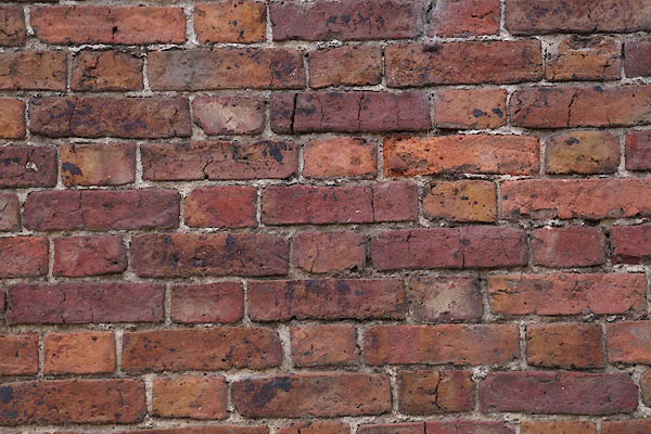 CBM12.jpg Walling; flemish bond brickwork. (taken 22.8.2014) 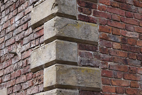 CBM13.jpg Quoins. (taken 22.8.2014) 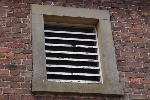 CBM14.jpg Window. (taken 22.8.2014) 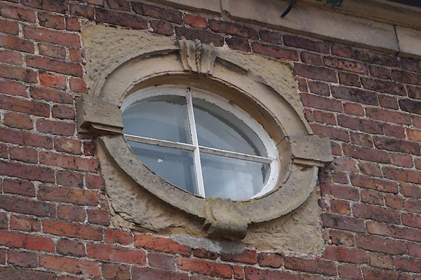 CBM15.jpg Window. (taken 22.8.2014) 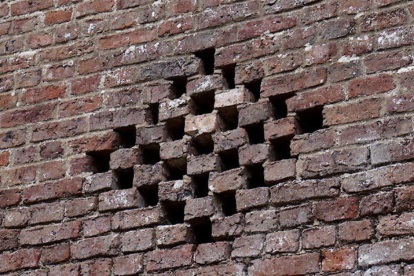 CBM16.jpg Ventilation? (taken 22.8.2014) 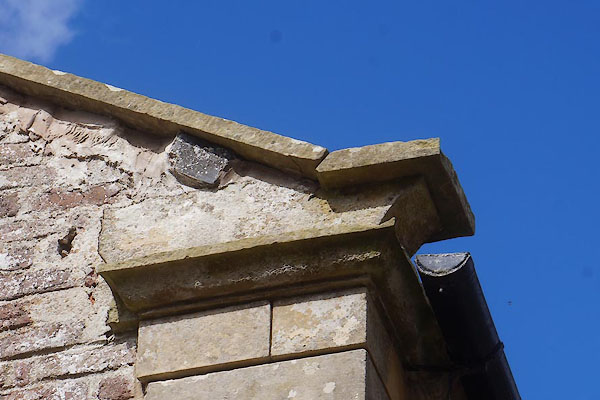 CBM17.jpg Skewput. (taken 22.8.2014) 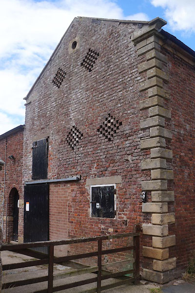 CBM18.jpg (taken 22.8.2014) 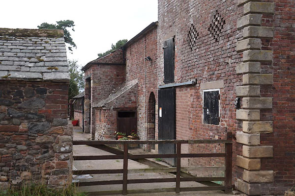 CBM19.jpg (taken 22.8.2014) |
||
|
|
||
 Lakes Guides menu.