 Old Cumbria Gazetteer
 |
 |
|
| Vicarage, Alston | ||
| Vicarage | ||
| Street:- | Church Road | |
| locality:- | Alston | |
| civil parish:- | Alston Moor (formerly Cumberland) | |
| county:- | Cumbria | |
| locality type:- | buildings | |
| coordinates:- | NY71804647 | |
| 1Km square:- | NY7146 | |
| 10Km square:- | NY74 | |
| references:- | Listed Buildings 2010 |
|
|
|
||
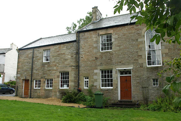 BXK84.jpg (taken 28.9.2012) 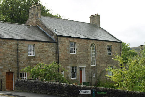 BXK99.jpg (taken 28.9.2012) |
||
|
|
||
| evidence:- | old map:- OS County Series (Cmd 34 9) |
|
| source data:- | Maps, County Series maps of Great Britain, scales 6 and 25
inches to 1 mile, published by the Ordnance Survey, Southampton,
Hampshire, from about 1863 to 1948. "Vicarage" |
|
|
|
||
| evidence:- | database:- Listed Buildings 2010 placename:- Vicarage |
|
| source data:- | courtesy of English Heritage "VICARAGE AND AJOINING STABLES / / CHURCH ROAD / ALSTON MOOR / EDEN / CUMBRIA / II / 73107 / NY7180946473" |
|
|
|
||
 Lakes Guides menu.