 Old Cumbria Gazetteer
 |
 |
|
| Whalegill Bridge, Castle Sowerby | ||
| Whalegill Bridge | ||
| site name:- | Whale Gill | |
| locality:- | Sowerby Row | |
| civil parish:- | Castle Sowerby (formerly Cumberland) | |
| county:- | Cumbria | |
| locality type:- | bridge | |
| coordinates:- | NY39463941 | |
| 1Km square:- | NY3939 | |
| 10Km square:- | NY33 | |
|
|
||
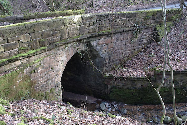 BUC29.jpg (taken 25.2.2011) 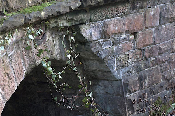 BUC30.jpg (taken 25.2.2011) |
||
|
|
||
| evidence:- | old map:- Bell 1892 placename:- Whale Gill Bridge |
|
| source data:- | Map, colour lithograph, Road Map of Cumberland, by George Joseph
Bell, scale about 2.5 miles to 1 inch, printed by Charles
Thurnam and Sons, Carlisle, Cumberland, 1892.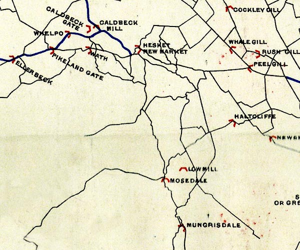 BEL9NY33.jpg "WHALE GILL" bridge symbol Road map of Cumberland showing County Bridges item:- Carlisle Library : Map 38 Image © Carlisle Library |
|
|
|
||
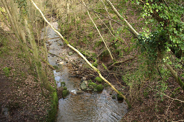 BUC31.jpg View of river. (taken 25.2.2011) |
||
|
|
||
 Lakes Guides menu.