 Old Cumbria Gazetteer
 |
 |
|
| Briggle Bridge, Langwathby | ||
| Briggle Bridge | ||
| site name:- | Briggle Beck (2) | |
| locality:- | Briggle | |
| civil parish:- | Langwathby (formerly Cumberland) | |
| civil parish:- | Hunsonby (formerly Cumberland) | |
| county:- | Cumbria | |
| locality type:- | bridge | |
| locality type:- | parish boundary mark | |
| coordinates:- | NY58293412 | |
| 1Km square:- | NY5834 | |
| 10Km square:- | NY53 | |
|
|
||
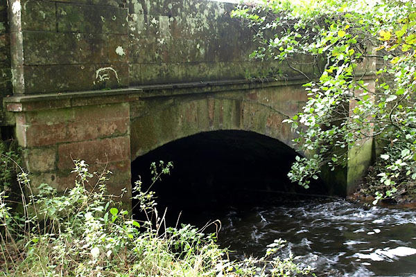 BVM98.jpg (taken 14.10.2011) |
||
|
|
||
| evidence:- | old map:- OS County Series (Cmd 50 11) placename:- Briggle Bridge |
|
| source data:- | Maps, County Series maps of Great Britain, scales 6 and 25
inches to 1 mile, published by the Ordnance Survey, Southampton,
Hampshire, from about 1863 to 1948. |
|
|
|
||
| evidence:- | old map:- Bell 1892 placename:- Briggle Bridge |
|
| source data:- | Map, colour lithograph, Road Map of Cumberland, by George Joseph
Bell, scale about 2.5 miles to 1 inch, printed by Charles
Thurnam and Sons, Carlisle, Cumberland, 1892.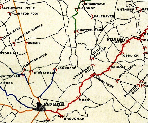 BEL9NY53.jpg "BRIGGLE" bridge symbol Road map of Cumberland showing County Bridges item:- Carlisle Library : Map 38 Image © Carlisle Library |
|
|
|
||
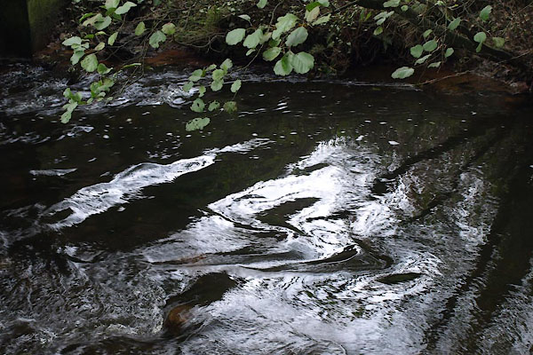 BVM99.jpg View of river. (taken 14.10.2011) 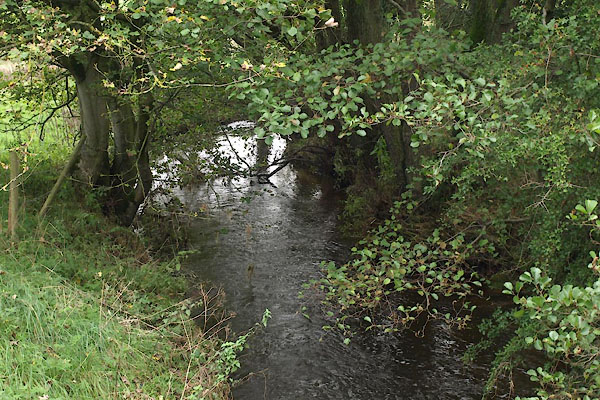 BVN01.jpg View of river. (taken 14.10.2011) |
||
|
|
||
 Lakes Guides menu.