 Old Cumbria Gazetteer
 |
 |
|
| Eden Springs, Mallerstang | ||
| runs into:- |  Red Gill Red Gill |
|
|
|
||
| Eden Springs | ||
| locality:- | Black Fell Moss | |
| locality:- | Mallerstang | |
| civil parish:- | Mallerstang (formerly Westmorland) | |
| county:- | Cumbria | |
| locality type:- | spring | |
| locality type:- | river head | |
| coordinates:- | SD80549947 (etc) | |
| 1Km square:- | SD8099 | |
| 10Km square:- | SD89 | |
| SummaryText:- | wide area of springs | |
|
|
||
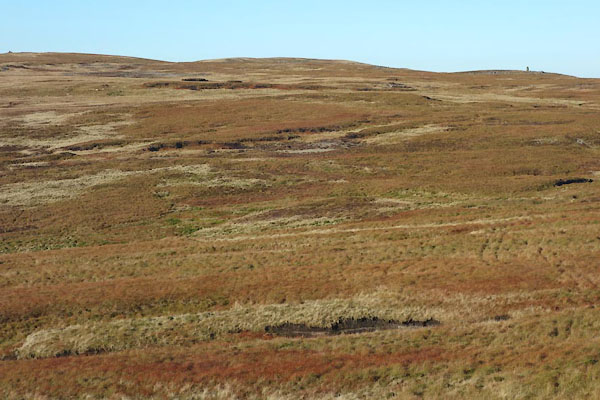 CEH17.jpg (taken 2.11.2015) |
||
|
|
||
| evidence:- | old map:- Jefferys 1770 (Wmd) placename:- Eden Head |
|
| source data:- | Map, 4 sheets, The County of Westmoreland, scale 1 inch to 1
mile, surveyed 1768, and engraved and published by Thomas
Jefferys, London, 1770.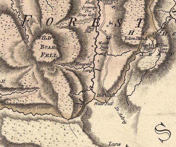 J5SD79NE.jpg "Eden Head" hill hachuring; hill or mountain item:- National Library of Scotland : EME.s.47 Image © National Library of Scotland |
|
|
|
||
Lakes Guides menu.