 Old Cumbria Gazetteer
 |
 |
|
| Elizabeth Dock, Maryport Harbour | ||
| Elizabeth Dock | ||
| locality:- | Maryport Harbour | |
| locality:- | Maryport | |
| civil parish:- | Maryport (formerly Cumberland) | |
| county:- | Cumbria | |
| locality type:- | dock | |
| coordinates:- | NY03173642 (etc) | |
| 1Km square:- | NY0336 | |
| 10Km square:- | NY03 | |
|
|
||
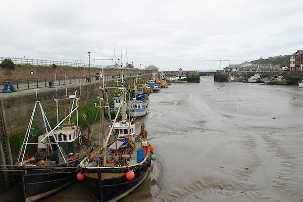 BUQ24.jpg (taken 27.5.2011) 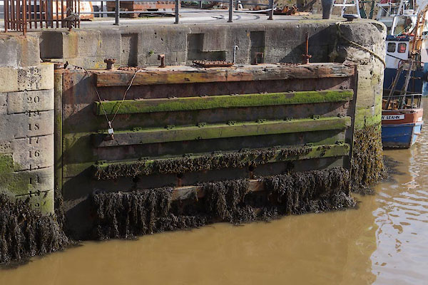 CFN97.jpg Lock gate and depth gauge. (taken 30.9.2016) |
||
|
|
||
| evidence:- | old map:- OS County Series (Cmd 44 8) placename:- Elizabeth Dock |
|
| source data:- | Maps, County Series maps of Great Britain, scales 6 and 25
inches to 1 mile, published by the Ordnance Survey, Southampton,
Hampshire, from about 1863 to 1948. |
|
|
|
||
| evidence:- | old text:- Admiralty 1933 placename:- Elizabeth Dock item:- cranes |
|
| source data:- |  goto source goto sourcePage 396:- "... Elizabeth dock is situated southward of Elizabeth basin. It is entered from that basin through a passage with a gateway, 50 feet (15m2) wide, the sill of which dries 5 feet (1m5). It provides 1,600 feet (487m7) of quayage, with depths of from 20 to 21 feet (6m1 to 6m4) alongside at high water springs.; depths of 12 feet (3m7) are normally maintained in Elizabeth dock." "The gates ... are usually open from about 1 1/2 hours before until one hour after high water." goto sourcePage 397:- "..." "Elizabeth dock is equipped with one 3-ton travelling steam crane." |
|
|
|
||
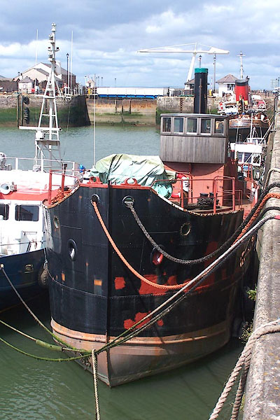 BNS15.jpg Steam trawler (taken 25.5.2007) |
||
|
|
||
Lakes Guides menu.