 Old Cumbria Gazetteer
 |
 |
|
| Gowder Dub, Borrowdale | ||
| Gowder Dub | ||
| site name:- | Derwent, River | |
| locality:- | ||
| civil parish:- | Borrowdale (formerly Cumberland) | |
| county:- | Cumbria | |
| locality type:- | pool | |
| coordinates:- | NY32501663 | |
| 1Km square:- | NY3216 | |
| 10Km square:- | NY30 | |
|
|
||
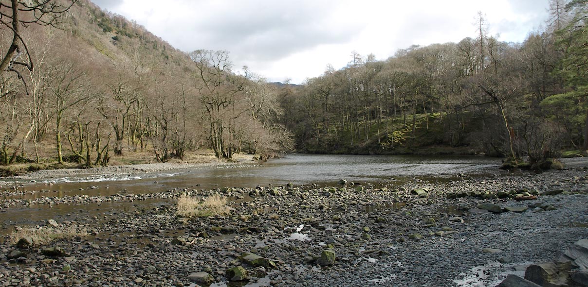 Click to enlarge BWA16.jpg (taken 5.3.2012) |
||
|
|
||
| evidence:- | old map:- OS County Series (Cmd 70 5) placename:- Gowder Dub |
|
| source data:- | Maps, County Series maps of Great Britain, scales 6 and 25
inches to 1 mile, published by the Ordnance Survey, Southampton,
Hampshire, from about 1863 to 1948. |
|
|
|
||
 Lakes Guides menu.