![]() |
![]() |
|
placename:- | Natland Road | |
other name:- | Kendal to Milnthorpe | |
other name:- | Milnthorpe to Kendal | |
parish |
Kendal parish, once in
Westmorland
| |
parish |
Natland parish, once in
Westmorland
| |
parish |
Sedgwick parish, once in
Westmorland
| |
parish |
Hincaster parish, once in
Westmorland
| |
parish |
Heversham parish, once in
Westmorland
| |
parish |
Milnthorpe parish, once in
Westmorland
| |
county:- | Cumbria | |
road; route | ||
10Km square:- |
SD59 | |
10Km square:- |
SD58 | |
10Km square:- |
SD48 | |
old map:- |
Jefferys 1770 (Wmd)
| |
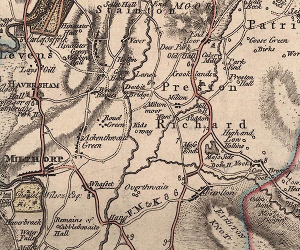
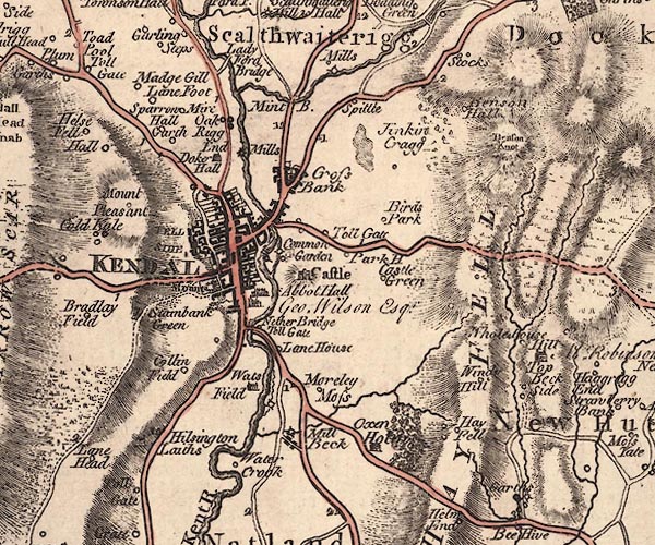
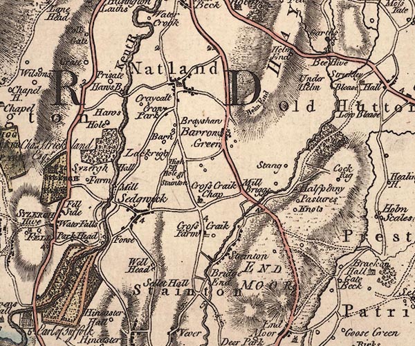
Map, The County of Westmoreland, scale about 1 inch to 1 mile, surveyed by J Ainslie and perhaps T Donald, engraved and published by Thomas Jefferys, London, 1770. | ||
![]() | ||
![]() | ||
![]() | ||
double line; road, with mile numbers | ||
county:- | Westmorland | |
date:- | 1770 | |
period:- | 18th century, late; 1770s | |
place
| ||
mapping:- |
Kendal
Natland Sedgwick Hincaster Woodhouse, Heversham Ackenthwaite, Milnthorpe Milnthorpe | |
Old Cumbria Gazetteer - JandMN: 2013 | ||