 Old Cumbria Gazetteer
 |
 |
|
| Scales Hall, Scales | ||
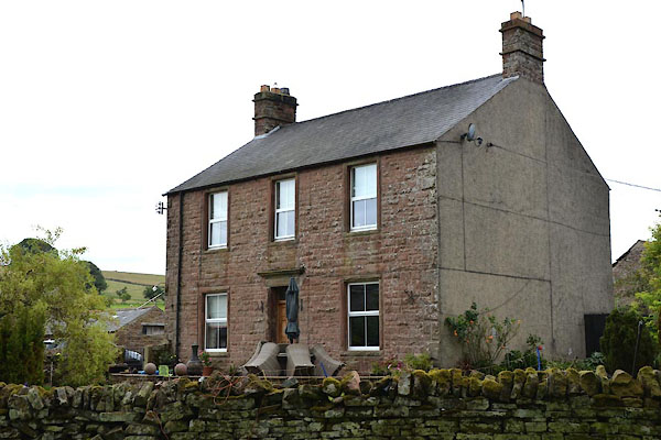
| Scales Hall | ||
| locality:- | Scales | |
| civil parish:- | Kirkoswald (formerly Cumberland) | |
| county:- | Cumbria | |
| locality type:- | buildings | |
| coordinates:- | NY57174306 (etc) | |
| 1Km square:- | NY5743 | |
| 10Km square:- | NY54 | |
|
|
||
 CGG86.jpg (taken 21.7.2017) |
||
|
|
||
| evidence:- | old map:- OS County Series (Cmd 40 3) placename:- Scales Hall |
|
| source data:- | Maps, County Series maps of Great Britain, scales 6 and 25
inches to 1 mile, published by the Ordnance Survey, Southampton,
Hampshire, from about 1863 to 1948. |
|
|
|
||
| notes:- |
possible defensive hall |
|
| Perriam, D R &Robinson, J: 1998: Medieval Fortified Buildings of Cumbria: CWAAS::
ISBN 1 873124 23 6 |
||
|
|
||
 Lakes Guides menu.