 Old Cumbria Gazetteer
 |
 |
|
| Southwaite Bridge, Dean | ||
| Southwaite Bridge | ||
| site name:- | Cocker, River | |
| locality:- | Southwaite | |
| civil parish:- | Dean (formerly Cumberland) | |
| civil parish:- | Embleton (formerly Cumberland) | |
| county:- | Cumbria | |
| locality type:- | bridge | |
| coordinates:- | NY13092835 | |
| 1Km square:- | NY1328 | |
| 10Km square:- | NY12 | |
|
|
||
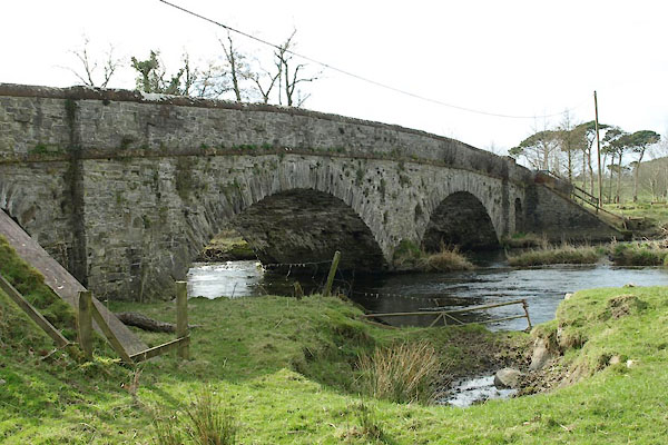 BWC54.jpg (taken 19.3.2012) 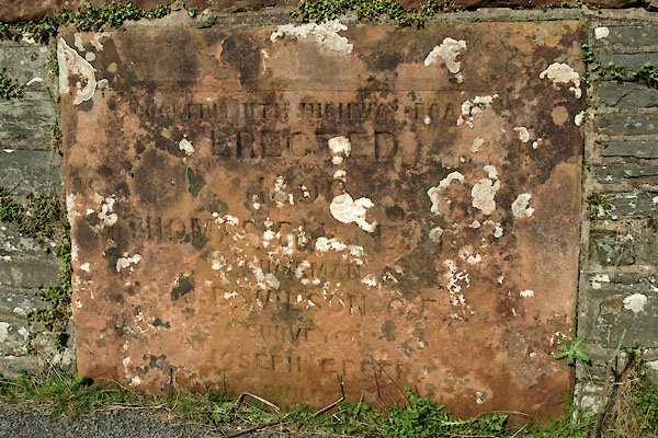 BWC55.jpg Plaque:- "[COCKERMOUTH] HIGHWAY BOA[RD] / ERECTED / 1890 / THOMAS [ ] ]]/ CHAIRMAN / J. B. WILSON C.E. / SURVEYOR / JOSEPH [GREEN / [BUILDER" (taken 19.3.2012) |
||
|
|
||
| evidence:- | old map:- OS County Series (Cmd 54 12) |
|
| source data:- | Maps, County Series maps of Great Britain, scales 6 and 25
inches to 1 mile, published by the Ordnance Survey, Southampton,
Hampshire, from about 1863 to 1948. "Ford" |
|
|
|
||
| evidence:- | old map:- Donald 1774 (Cmd) placename:- Southart Bridge |
|
| source data:- | Map, hand coloured engraving, 3x2 sheets, The County of Cumberland, scale about 1
inch to 1 mile, by Thomas Donald, engraved and published by Joseph Hodskinson, 29
Arundel Street, Strand, London, 1774.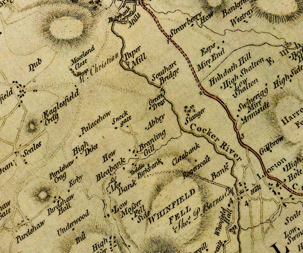 D4NY12NW.jpg "Southart Bridge" double line across a river; a bridge over the Cocker item:- Carlisle Library : Map 2 Image © Carlisle Library |
|
|
|
||
| evidence:- | old map:- Bell 1892 placename:- Southwaite Bridge |
|
| source data:- | Map, colour lithograph, Road Map of Cumberland, by George Joseph
Bell, scale about 2.5 miles to 1 inch, printed by Charles
Thurnam and Sons, Carlisle, Cumberland, 1892.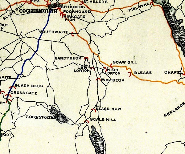 BEL9NY12.jpg "SOUTHWAITE" bridge symbol Road map of Cumberland showing County Bridges item:- Carlisle Library : Map 38 Image © Carlisle Library |
|
|
|
||
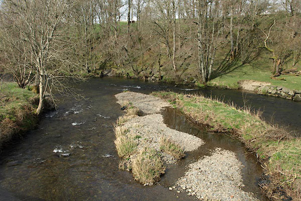 BWC56.jpg View of river. (taken 19.3.2012) 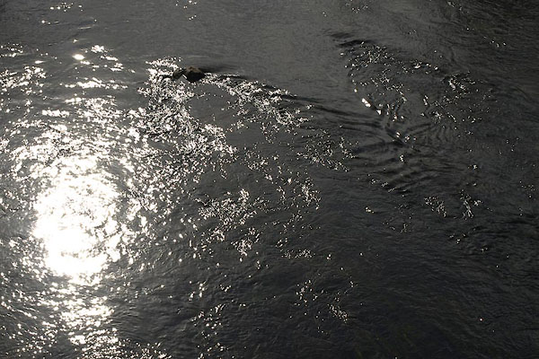 BWC57.jpg View of river. (taken 19.3.2012) |
||
|
|
||
 Lakes Guides menu.