 Old Cumbria Gazetteer
 |
 |
|
| mill, Lowther | ||
| site name:- | Lowther, River | |
| civil parish:- | Lowther (formerly Westmorland) | |
| county:- | Cumbria | |
| locality type:- | mill | |
| locality type:- | water mill | |
| locality type:- | saw mill | |
| coordinates:- | NY51722420 | |
| 1Km square:- | NY5124 | |
| 10Km square:- | NY52 | |
|
|
||
| evidence:- | old map:- OS County Series (Wmd 7) |
|
| source data:- | Maps, County Series maps of Great Britain, scales 6 and 25
inches to 1 mile, published by the Ordnance Survey, Southampton,
Hampshire, from about 1863 to 1948. "Saw Mill" |
|
|
|
||
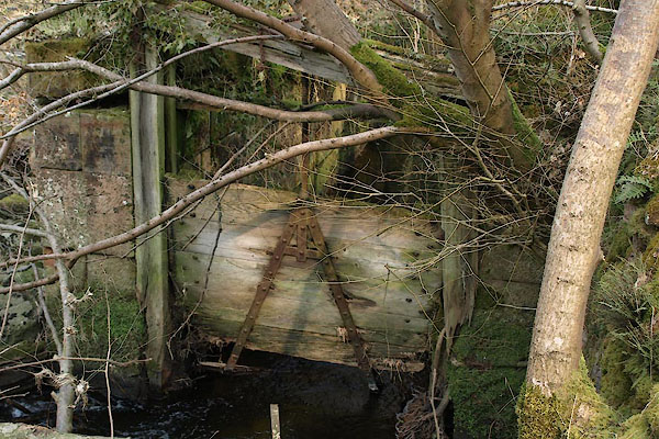 BYB61.jpg Mill lade and sluice gate. (taken 5.4.2013) 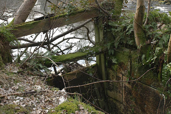 BYB62.jpg Mill lade and sluice gate. (taken 5.4.2013) 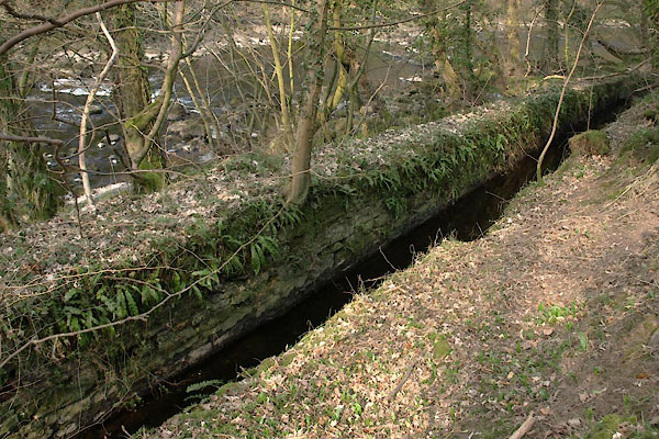 BYB63.jpg Mill lade. (taken 5.4.2013) |
||
| The mill lade starts at the weir upstream. |
||
|
|
||
 Lakes Guides menu.