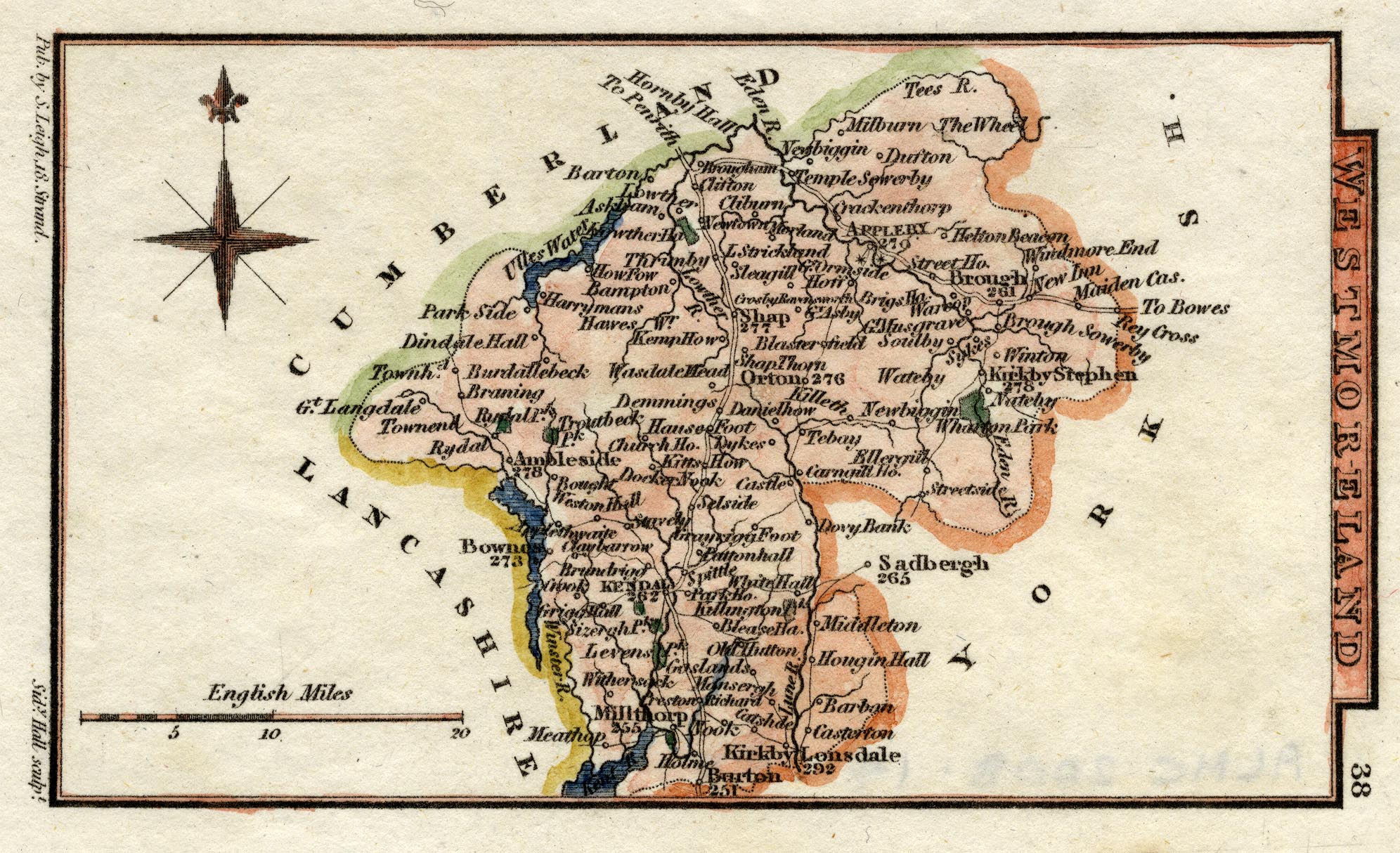
item:- Armitt Library : 2008.14.58
image:- © see bottom of page
 HA18.jpg
Map, hand coloured engraving, Westmoreland ie Westmorland, scale
about 14.5 miles to 1 inch, by Sidney Hall, London, 1820,
published by Samuel Leigh, 18 Strand, London, 1820-31.
 Lakes Guides menu.