item:- JandMN : 28.12
image:- © see bottom of page
 JK10.jpg
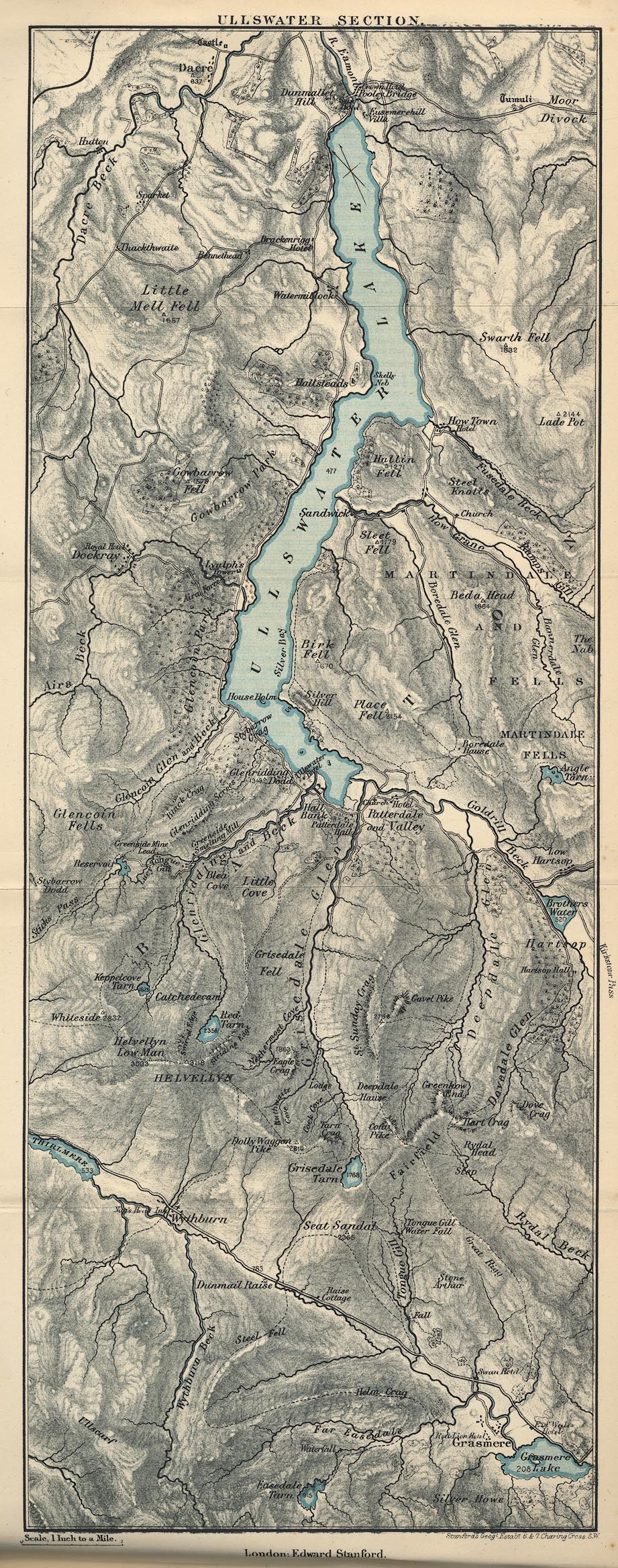
Map, Ullswater Section, Westmorland and Cumberland, ?colour
lithograph, scale about 1 mile to 1 inch, by Stanford's
Geographical Establishment, published by Edward Stanford, 55
Charing Cross, London, 1875.
 Lakes Guides menu.