item:- Armitt Library : A1201.67
image:- © see bottom of page
 WLD3M4.jpg
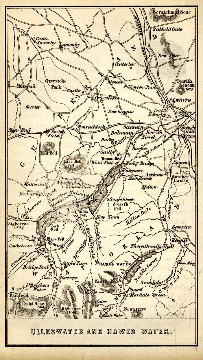
Map, uncoloured engraving, Ulleswater and Hawes Water,
Cumberland and Westmorland, scale about 3.5 miles to 1 inch, by
James Wyld, published by John Johnstone, Paternoster Row,
London, et al, 1847.
 Lakes Guides menu.