item:- JandMN : 147.8
image:- © see bottom of page
 RUM107.jpg
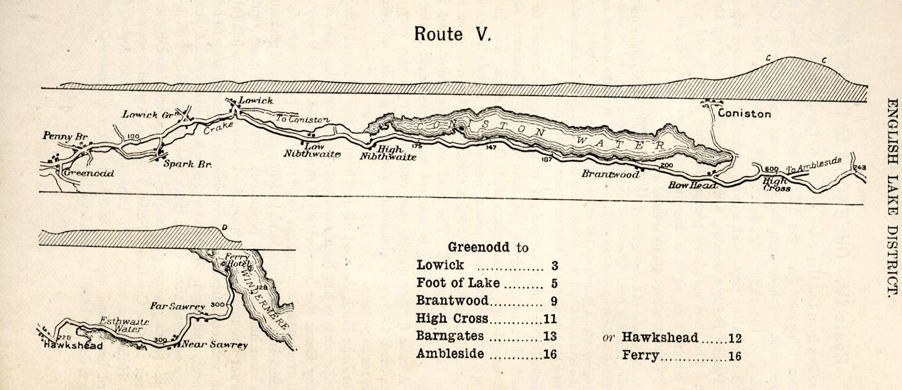
Road map, strip map, gradient diagram, and itinerary for Route
V, Lowick Bridge to High Gate, Ambleside, Etc, Lancashire and
Westmorland, scale about 2 miles to 1 inch, by A W Rumney,
published by George Philip and Son, 32 Fleet Street, London, and
Liverpool, 1899.
 Lakes Guides menu.