 Otley 1818 NY24


|

|
|
|
gazetteer links places may or may not be labelled on the map |
||

|
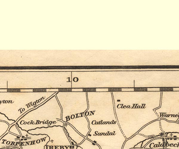
-- Bolton Low Houses -- "BOLTON" |
|
|
|
-- Catlands Hill |
|
|
|
-- Clea Hall |
|
|
civil parishes The area roughly includes parts of parishes:- Blennerhasset and Torpenhow Westward Boltons Waverton Wigton Woodside Thursby Caldbeck Ireby Bromfield Allhallows Dundraw |
||
|
|
||
|
|
Lakes Guides menu. | |