button to main menu   Otley 1818 NY54
date  bar
Note: some of these makers maps may not show this square
Note: click on map edges for adjacent squares

Otley 1818
(Area of roughly corresponding to Otley 1818 NY54 plus overlaps, North at the top; the original map is printed with North at the top)

item:-  JandMN (48_1)
image:-  © see bottom of page
gazetteer links

places may or may not be labelled on the map

button -- 
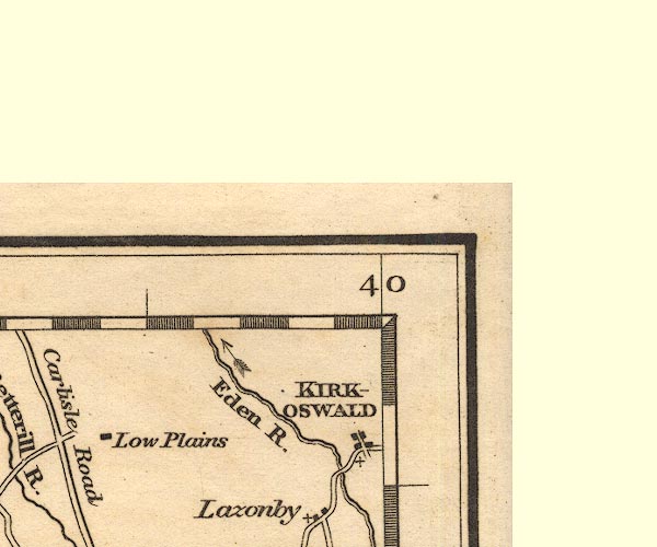
Eden, River -- "Eden R."
button -- Kirkoswald -- "KIRKOSWALD"

civil parishes

The area roughly includes parts of parishes:-

    Glassonby
    Lazonby
    Ainstable
    Cumwhitton
    Wetheral
    Cumrew
    Kirkoswald
    Hesket

button to Lakes menu Lakes Guides menu.
goto NY44 goto NY43 goto NY53 back to index map