 Lakes Guides, topics
 |
 |
|
||
| toll gates and turnpikes, Cumbria | ||||
| county:- | Cumbria | |||
| Pay Up |
||||
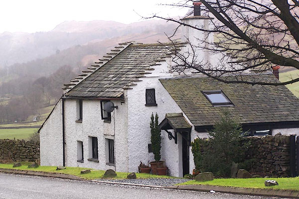 BLP91.jpg |
||||
| We have searched the 6 inch County Series maps issued by the Ordnance Survey in the
late 19th century to discover the location of old turnpikes, often just labelled "T.P."
sometimes marked by a line across the road. This might indicate a gate, the 'pike'
that had to be 'turned' to let the traveller through, but might suggest a toll house
as well. Earlier maps have also been searched. The results are listed here. |
||||
|
|
||||
| evidence:- | ||||
| source data:- | 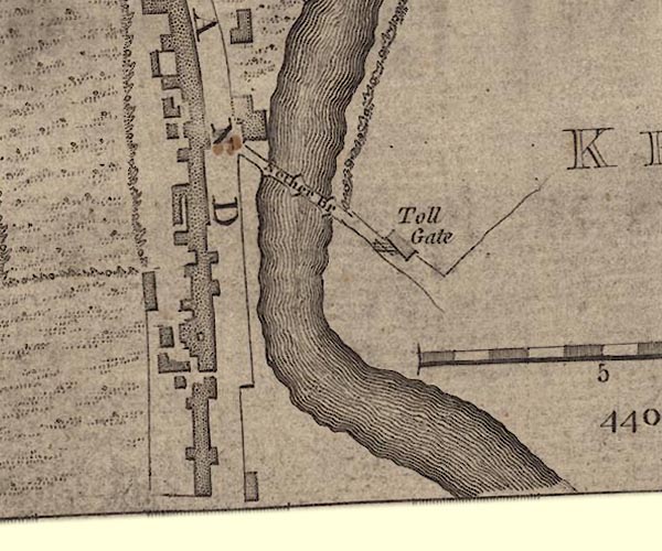 J55191U.jpg Image © National Library of Scotland |
|||
| note:- | When trying to identify old toll gates be aware that there were many more gates across
roads in the past than we expect today. These prevented stock straying. These gate
locations often leave behind them a placename including the term 'gate', such terms
do not always imply a toll gate. Some maps show a line across the road, but without
the added evidence of a label 'TP' do not take these to be turnpike gates. |
|||
|
|
||||
| The term turnpike has latterly become attached to the road itself. Many of today's
major routes were once turnpike roads. |
||||
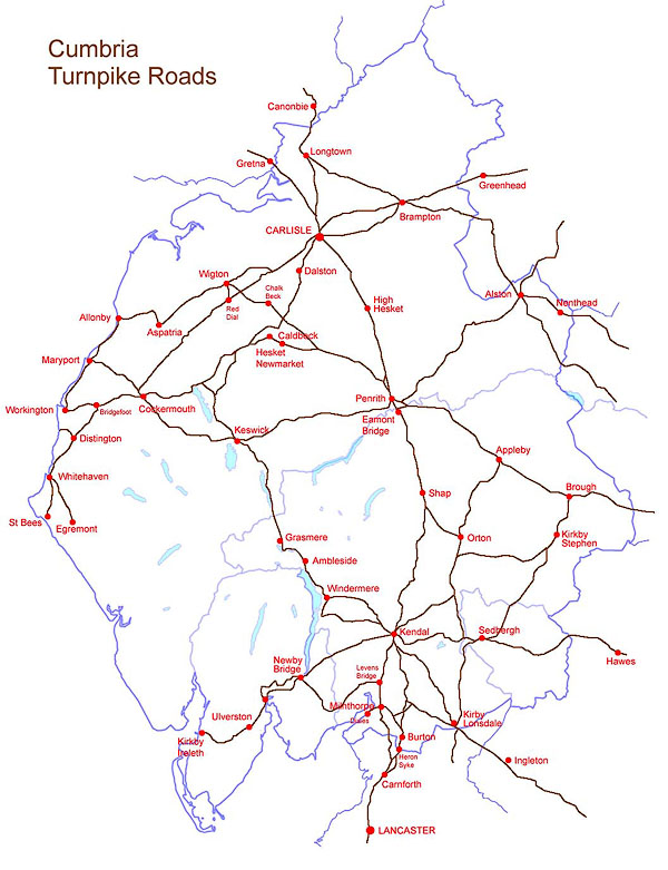 cumtp.jpg |
||||
|
|
||||
 list of turnpike Acts list of turnpike Acts |
||||
|
|
||||
| references:- | An adhoc list. |
|||
| Wright, Geoffrey N: 1997: Turnpike Roads: Shire Publications (Princes Risborough,
Buckinghamshire):: ISBN 0 7478 0155 X Smith, Colin: 2011: Guide to the Milestones, Mileposts, and Toll Buildings of Cumbria: Brow Bottom Enterprises (Bowscale, Cumbria):: ISBN 978 0 9556574 2 9 Albert, William: 1972: Turnpike Road System in England 1663-1840: Cambridge University Press:: ISBN 0 521 08221 8 |
||||
|
|
||||
 Lakes Guides menu.