 Crosthwaite 1783-94, tetrad NY21P

|

|
|
|
gazetteer links
|
||

|
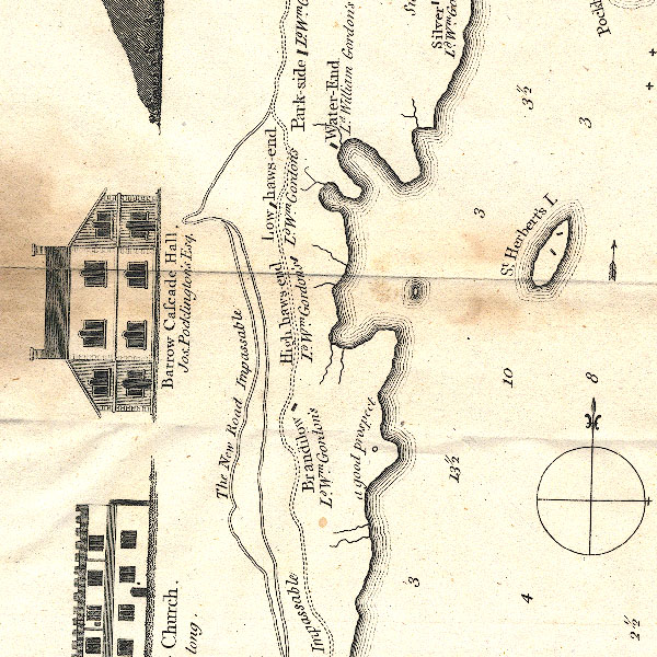
-- Copperheap Bay
|
|
|
|
-- "Water End" -- Derwent Bay
|
|
|
|
-- Derwent Bay
|
|
|
|
-- "Low Haws End" -- Hawes End-- "High Haws
End" -- Hawes End
|
|
|
|
-- Kitchen Bay
|
|
|
|
-- "Brandilow" -- Old Brandelhow
|
|
|
|
-- Otterbield Bay
|
|
|
|
-- Otterbield Island
|
|
|
|
-- "Park Side" -- Park Side (?)
|
|
|
|
-- Keswick to Borrowdale-- Keswick to Borrowdale
|
|
|
|
-- "St Herbert's Island" -- St Herbert's Island
|
|
|
|
-- Victoria Bay
|
|
|
|
-- Withesike Bay
|
|
|
civil parishes The area roughly includes parts of parishes:- Above Derwent Borrowdale |
||
|
|
||
|
|
Lakes Guides menu. | |