 |
 |
|
|
|
|
Beck Foot |
| locality:- |
Lowgill |
| locality:- |
Dillicar |
| civil parish:- |
Grayrigg (formerly Westmorland) |
| civil parish:- |
Firbank (formerly Westmorland) |
| county:- |
Cumbria |
| locality type:- |
locality |
| locality type:- |
buildings |
| coordinates:- |
SD61539654 (etc) |
| 1Km square:- |
SD6196 |
| 10Km square:- |
SD69 |
|
|
|
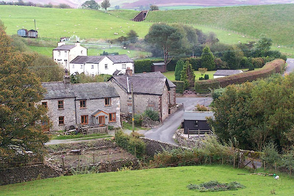
BMW70.jpg (taken 20.10.2006)
|
|
|
| evidence:- |
old map:- OS County Series (Wmd 34 12)
placename:- Beck Foot
|
| source data:- |
Maps, County Series maps of Great Britain, scales 6 and 25
inches to 1 mile, published by the Ordnance Survey, Southampton,
Hampshire, from about 1863 to 1948.
|
|
|
| places:- |
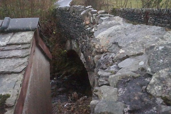 |
SD61479652 Beckfoot Bridge (Grayrigg / Firbank) |
|
|
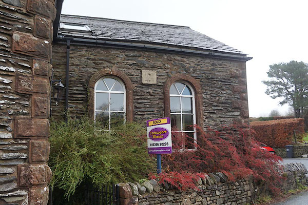 |
SD61519655 chapel, Beck Foot (Grayrigg) |
|
|
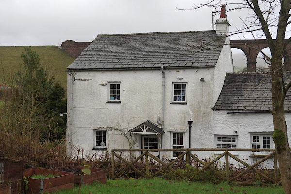 |
SD61489649 Half Island House (Firbank) |
|
|
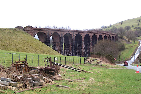 |
SD61679653 Lowgill Viaduct (Grayrigg / Firbank) L |
|
|
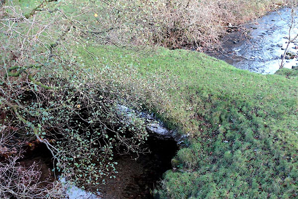 |
SD61649645 Tarnclose Bridge (Firbank / Grayrigg) L |
|

 Lakes Guides menu.