 Old Cumbria Gazetteer
 |
 |
|
| Beckfoot Bridge, Beck Foot | ||
| Beckfoot Bridge | ||
| site name:- | Lummer Gill | |
| locality:- | Beck Foot | |
| locality:- | Lowgill | |
| locality:- | Dillicar | |
| civil parish:- | Grayrigg (formerly Westmorland) | |
| civil parish:- | Firbank (formerly Westmorland) | |
| county:- | Cumbria | |
| locality type:- | bridge | |
| coordinates:- | SD61479652 | |
| 1Km square:- | SD6196 | |
| 10Km square:- | SD69 | |
|
|
||
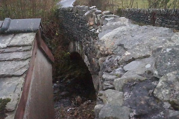 CEK76.jpg (taken 4.12.2015) |
||
|
|
||
| evidence:- | old map:- OS County Series (Wmd 34 12) placename:- Beckfoot Bridge |
|
| source data:- | Maps, County Series maps of Great Britain, scales 6 and 25
inches to 1 mile, published by the Ordnance Survey, Southampton,
Hampshire, from about 1863 to 1948. |
|
|
|
||
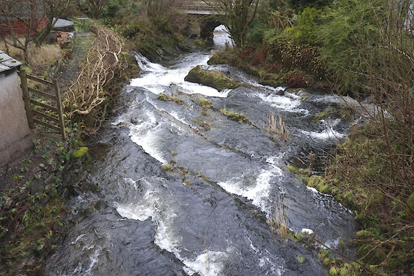 CEK77.jpg View of river. (taken 4.12.2015)  CEK78.jpg View of river. (taken 4.12.2015)  CEK79.jpg View of river. (taken 4.12.2015) |
||
|
|
||
 Lakes Guides menu.