 Old Cumbria Gazetteer
 |
 |
|
| Bonscale Tower, Martindale | ||
| Bonscale Tower | ||
| site name:- | Bonscale Pike | |
| civil parish:- | Martindale (formerly Westmorland) | |
| county:- | Cumbria | |
| locality type:- | tower | |
| locality type:- | cairn | |
| coordinates:- | NY45392014 | |
| 1Km square:- | NY4520 | |
| 10Km square:- | NY42 | |
|
|
||
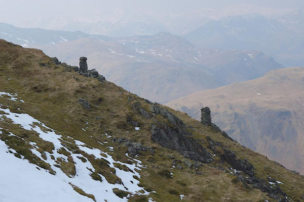 BYE25.jpg Cairns 2 and 1. (taken 12.4.2013) 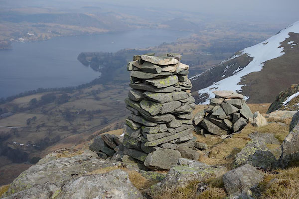 BYE27.jpg Cairn 2; the 'tower'? (taken 12.4.2013) |
||
|
|
||
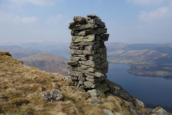 BYE26.jpg Cairn 1. (taken 12.4.2013) 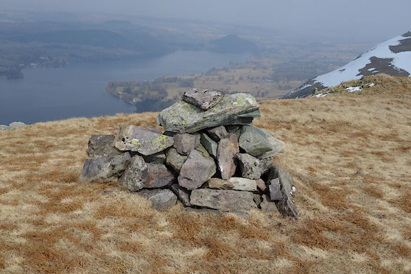 BYE28.jpg Cairn 3. (taken 12.4.2013) 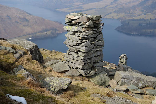 BYE29.jpg Cairns 2 and 1. (taken 12.4.2013) |
||
|
|
||
| notes:- |
Wainwright mentions 2 cairns, lying N-S, the lower being the 'tower'. |
|
| On a fairly modern 6inch map there are 3 cairns, lying E-W/N-S. |
||
| Onsite Jean saw 2 larger cairns, lying E-W; nos.1 and 2, and cairn 3 further off to
the S than the map shows, no.3 |
||
| On the OS County series sheet Wmd 13 1 there is a currick to the N of the pike; but
these cairns are not curricks? |
||
|
|
||
 Lakes Guides menu.