 Old Cumbria Gazetteer
 |
 |
|
| boundary stone, Brough/Musgrave | ||
| civil parish:- | Brough (formerly Westmorland) | |
| civil parish:- | Musgrave (formerly Westmorland) | |
| county:- | Cumbria | |
| locality type:- | boundary stone | |
| locality type:- | parish boundary mark | |
| coordinates:- | NY78011402 | |
| 1Km square:- | NY7814 | |
| 10Km square:- | NY71 | |
|
|
||
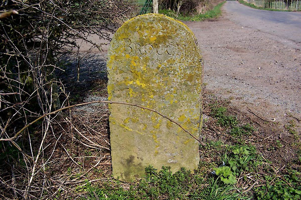 BLX49.jpg Inscribed stone:- "BROUGH" (taken 21.4.2006) 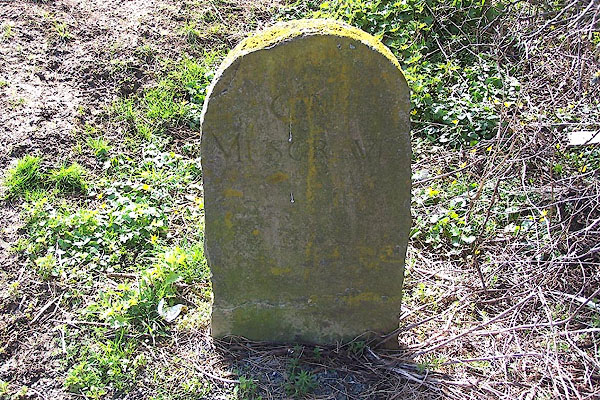 BLX50.jpg Inscribed stone:- "[GT] MUSGRAVE" (taken 21.4.2006) |
||
|
|
||
 Lakes Guides menu.