Old Cumbria Gazetteer
 |
 |
|
||
| Croasdale Beck | ||||
| runs into:- |  Ehen, River Ehen, River |
|||
|
|
||||
| civil parish:- | Ennerdale and Kinniside (formerly Cumberland) | |||
| civil parish:- | Lamplugh (formerly Cumberland) | |||
| county:- | Cumbria | |||
| locality type:- | river | |||
| locality type:- | boundary | |||
| locality type:- | parish boundary | |||
| 1Km square:- | NY0817 (etc) | |||
| 10Km square:- | NY01 | |||
|
|
||||
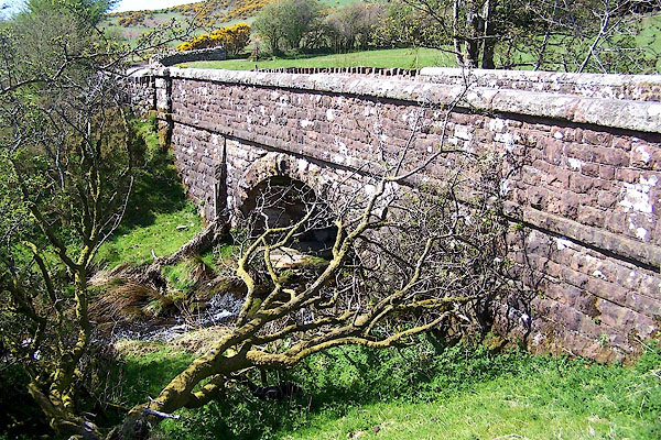
 BQJ32.jpg (taken 1.4.2009)  BMA09.jpg From Croasdale Bridge, Croasdale. (taken 3.5.2006) |
||||
|
|
||||
| evidence:- | old map:- OS County Series (Cmd 68 3) placename:- Crossdale Beck |
|||
| source data:- | Maps, County Series maps of Great Britain, scales 6 and 25
inches to 1 mile, published by the Ordnance Survey, Southampton,
Hampshire, from about 1863 to 1948. OS County Series (Cmd 68 6) OS County Series (Cmd 68 7) |
|||
|
|
||||
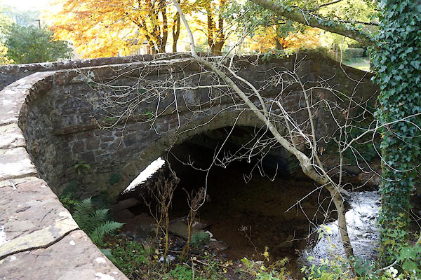
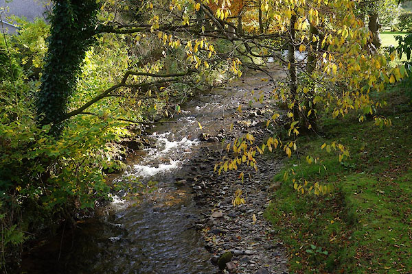 CEE33.jpg From Croasdale Bridge, Ennerdale Bridge, (taken 27.10.2015) |
||||
|
|
||||
| places:- |
|
|||
|
||||
Lakes Guides menu.