 Old Cumbria Gazetteer
 |
 |
|
||
| Galeforth Gill | ||||
| runs into:- |  Sprint, River Sprint, River |
|||
|
|
||||
| civil parish:- | Longsleddale (formerly Westmorland) | |||
| county:- | Cumbria | |||
| locality type:- | river | |||
| 1Km square:- | NY4806 (etc) | |||
| 10Km square:- | NY40 | |||
|
|
||||
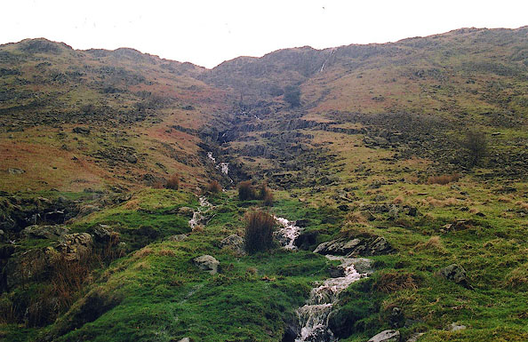
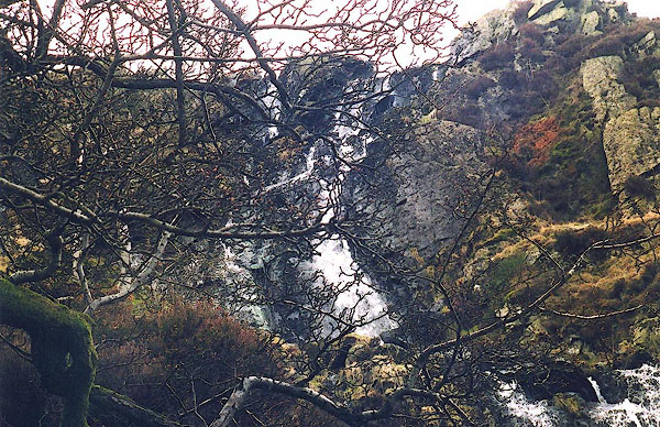 BIO36.jpg (taken 7.3.2004) 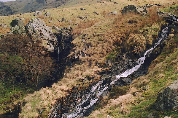 BIO30.jpg (taken 7.3.2004) |
||||
|
|
||||
| evidence:- | old map:- OS County Series (Wmd 27 3) placename:- Galeforth Gill |
|||
| source data:- | Maps, County Series maps of Great Britain, scales 6 and 25
inches to 1 mile, published by the Ordnance Survey, Southampton,
Hampshire, from about 1863 to 1948. Labelled along the stream on the fell top. |
|||
|
|
||||
| evidence:- | textbook:- EPNS Westmorland 1967 placename:- Gelfourceheade |
|||
| source data:- | Book, The Place Names of Westmorland, two volumes, by A H Smith,
published for the English Place Name Society by Cambridge
University Press, Cambridgeshire, 1967 |
|||
|
|
||||
| evidence:- | map:- OS Six Inch (1956) placename:- Galeforth Gill |
|||
| source data:- | Map series, various editions with the national grid, scale about
6 inches to 1 mile, published by the Ordnance Survey,
Southampton, Hampshire, scale 1 to 10560 from 1950s to 1960s,
then 1 to 10000 from 1960s to 2000s, superseded by print on
demand from digital data.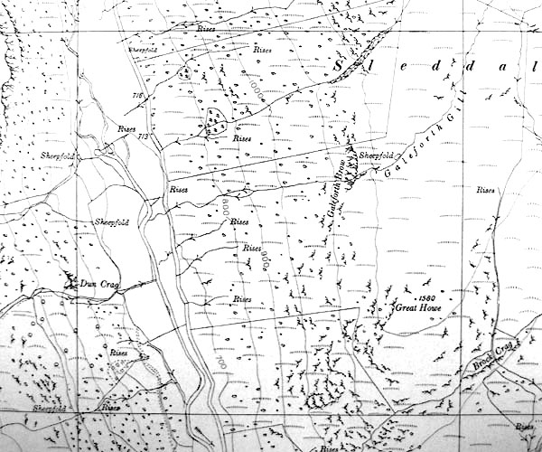 SINY4806.jpg "Galeforth Gill" |
|||
|
|
||||
 BIO31.jpg (taken 7.3.2004) 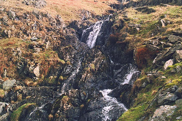 BIO32.jpg (taken 7.3.2004) 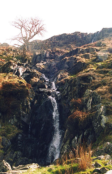 BIO33.jpg (taken 7.3.2004) 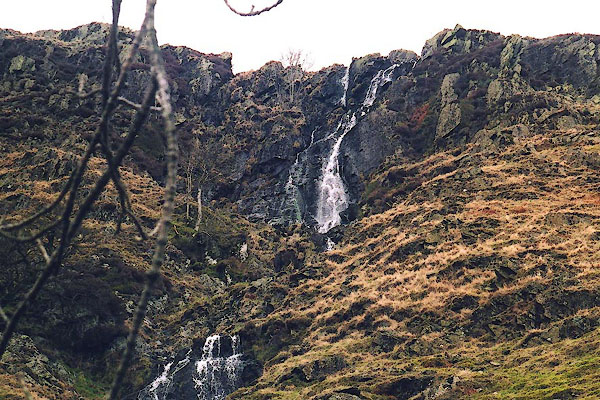 BIO34.jpg (taken 7.3.2004) 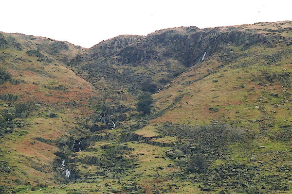 BIO28.jpg (taken 7.3.2004) 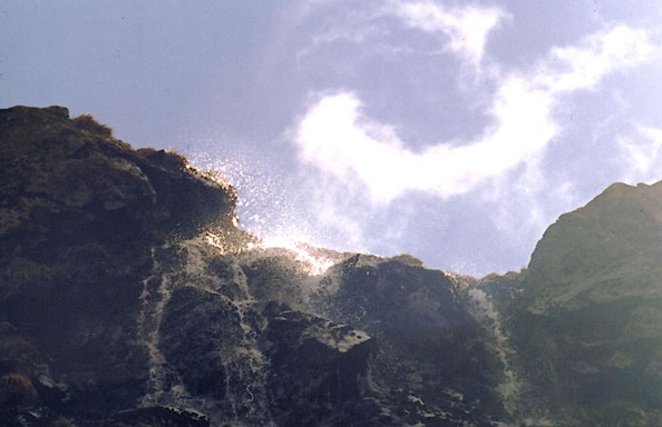 BIP01.jpg (taken 7.3.2004) 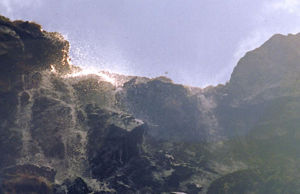 BIP02.jpg (taken 7.3.2004) 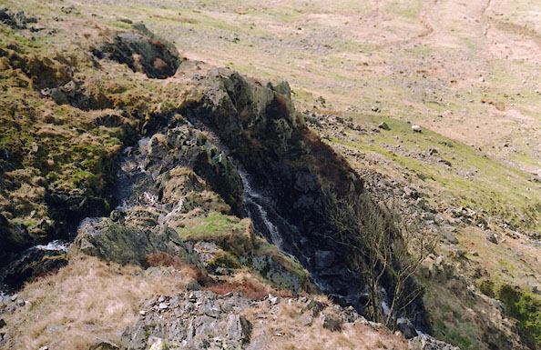 BIP04.jpg (taken 7.3.2004) 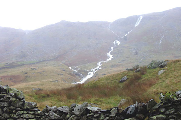 CEK98.jpg Six inches of rain so far, and still pouring. (taken 5.12.2015) |
||||
|
|
||||
| mapping:- | ||||
|
|
||||
| places:- |
|
|||
|
||||
Lakes Guides menu.