 Old Cumbria Gazetteer
 |
 |
|
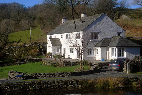
| Gilpin Mill, Crook | ||
| Gilpin Mill | ||
| site name:- | Gilpin, River | |
| civil parish:- | Crook (formerly Westmorland) | |
| county:- | Cumbria | |
| locality type:- | mill | |
| locality type:- | water mill | |
| locality type:- | fulling mill (?) | |
| locality type:- | bobbin mill | |
| coordinates:- | SD43349429 | |
| 1Km square:- | SD4394 | |
| 10Km square:- | SD49 | |
|
|
||
 CEO09.jpg (taken 10.2.2016) 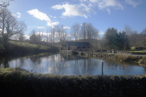 CEO10.jpg Mill dam. (taken 10.2.2016) |
||
|
|
||
| evidence:- | old map:- OS County Series (Wmd 38 1) placename:- Gilpin Mill |
|
| source data:- | Maps, County Series maps of Great Britain, scales 6 and 25
inches to 1 mile, published by the Ordnance Survey, Southampton,
Hampshire, from about 1863 to 1948. "Gilpin Mill (Bobbin) / Mill Dam" |
|
|
|
||
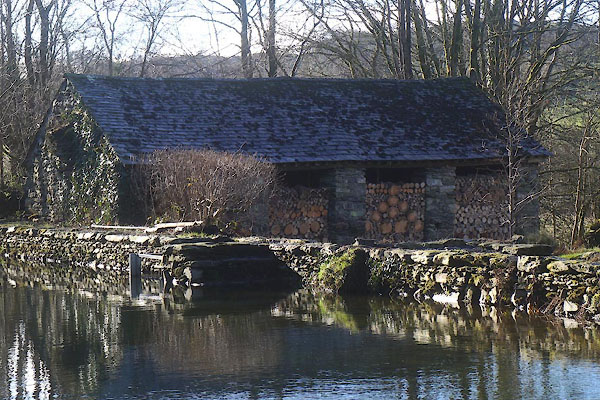 CEO11.jpg Firewood. (taken 10.2.2016) |
||
|
|
||
| notes:- |
Recorded in a will 1700, probably a fulling mill. Rebuilt as a bobbin mill early 19th
century. |
|
| Somervell, John: 1930: Water Power Mills of South Westmorland |
||
|
|
||
 Lakes Guides menu.